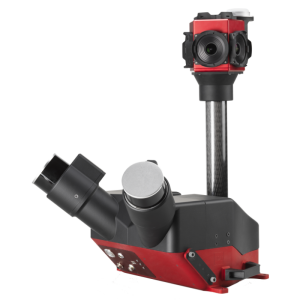
Description
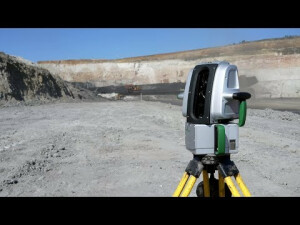
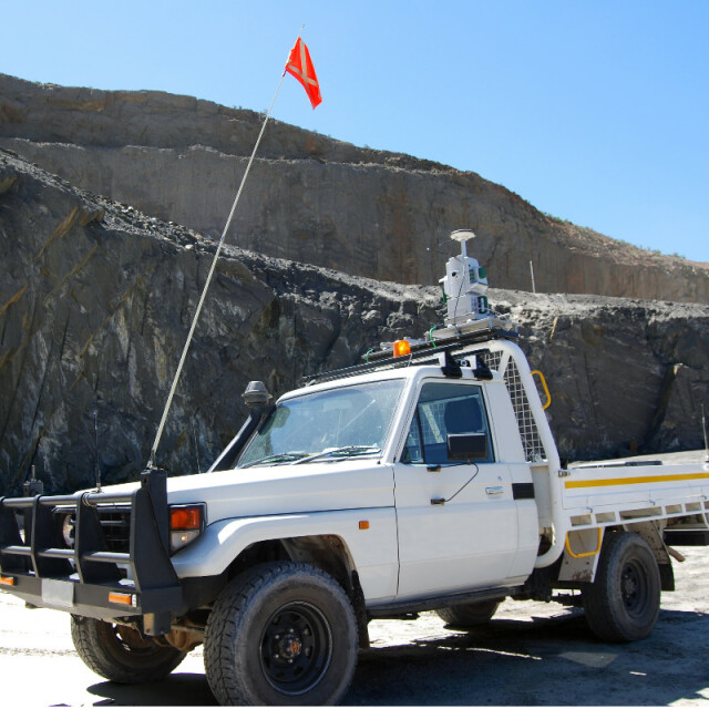
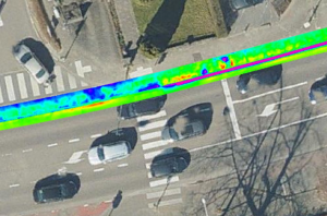
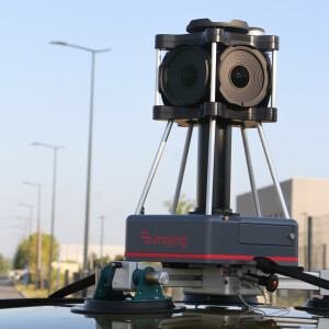
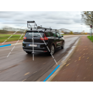
Maptek Drive allows the continuous acquisition of laser scan data with a Maptek laser scanner mounted on a moving vehicle. Mining, quarry and civil operations can efficiently survey stockpiles, highwalls and haul roads, cutting survey time by more than 50%.
Specifications
-
General
-
Year of initial introduction
2015
Application
Outdoor
-
Positioning
-
Number of antennas
1
-
Lidar Sensor
-
Brand
Maptek Drive
Number of laser scanners
1
Laser safety classification
1
Export formats
.3dp, .3dv, .arch_d, .00t, .dwg, .e57, .las, + more
-
Operation
-
Main applications
Stockpile reconciliation; Top of coal survey; Haul road survey; Highwall mapping; Pit surface update
Distinguishing features
Laser scanner can be used for continuous tripod, vehicle-mounted stop-go and rail or hatch-mounted survey scanning. Data points automatically registered into real world coordinates.Cost effective and flexible. Rapid data collection reduces survey time.
Training provided
Y
-
Included Processing Software
-
Laser Point Clouds Software
PointStudio
-
Control Unit
-
Computer
Supplied Tablet PC
Videos


