
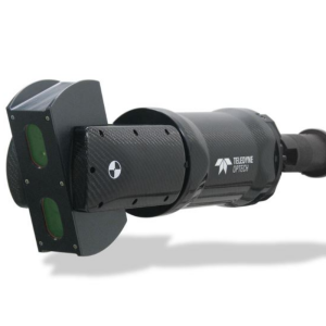
Lynx HS600-S
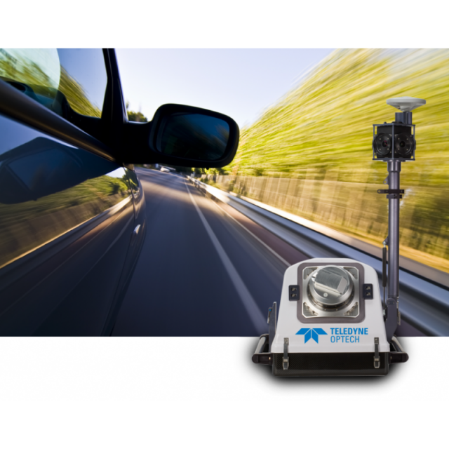
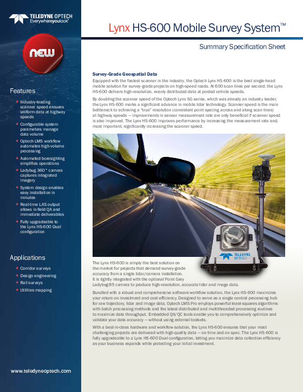
The Optech Lynx HS600-S is the single head version of the Lynx HS600 series. It is the premium single-head mobile solution for survey-grade projects on high-speed roads. At 600 scan lines per second, the Lynx HS600-S delivers high-resolution, evenly distributed data at high vehicle speeds.

Teledyne Geospatial
Vaughan, CA
Description
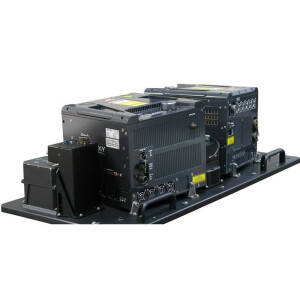
The Optech Lynx HS600-S is a lighter-weight, lower cost model that is fully upgradeable to the dual-head configuration Lynx HS600-D so that you can maximize data collection efficiency as your business expands while protecting your initial investment
With 600 scan lines/second (per sensor) and 800 measurements per second, the Lynx HS600-S is the single head solution that delivers high-resolution, evenly distributed data at high vehicle speeds. Scanner speed is the main bottleneck to achieving “true” resolution (consistent point spacing across and along scan lines) — improvements in sensor measurement rate are only beneficial if the scanner speed is also improved. The Lynx HS600-S brings tangible performance improvements: Many more data points capturing much more of the scene than ever before.
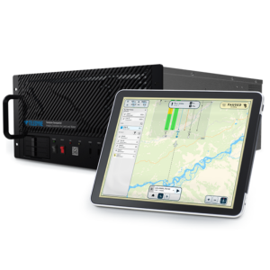
With the Lynx HS600-S, a complete and best-in-class workflow is guaranteed. Designed to serve as the central hub for processing data from all sensors, the bundled Optech LMS Pro software workflow solution ensures cost efficiencies and maximizes your return on investment. Using advanced processes, LMS Pro optimizes data accuracy and verifies that it meets project requirements, making it an essential tool for survey-grade applications. A critical advantage is its ability to obtain a high-quality data product without sacrificing project productivity. In addition, processing time is minimized by embedded post-mission quality assurance and quality control tools, while interoperability with third party software significantly streamlines further data post-processing.
Do you have questions about this product?
- Questions about price, availability, and/or retailers
- Questions about technical specifications and usage
- Questions about suitability for your project or application
Specifications
-
General
-
Year of initial introduction
2016
Year of last update
2016
Application
Outdoor
-
Positioning
-
GNSS receiver: Brand and model
Trimble Applanix
Number of antennas
2
Update rate of GNSS receiver
5
IMU update rate [kHz]
200
Wheel sensor: Brand and model
Trimble Applanix
Number of wheel sensors
1
Tracked GNSS signals
GPS L1, GPS L2, GPS L5, GLONASS L1, GLONASS L2, Galileo E1, Galileo E5, BeiDou B1, BeiDou B2
-
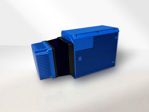
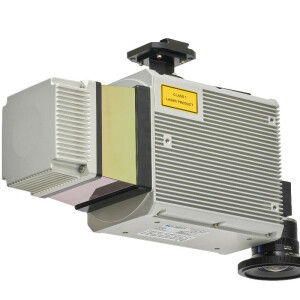
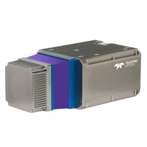
Lidar Sensor
-
Brand
Optech
Number of laser scanners
1
Wavelength [nm]
1550
Laser safety classification
IEC/CDRH Class 1 eyesafe
Max Range [m]
130
Intensity recording [bit]
12
Max. vertical field of view [deg]
360
Max. measurement rate [kHz]
800
Scans per second
600
Export formats
LAS/LAZ/ASCII
Measurements per laser pulse
4
-
Operation
-
Built-in Stabilisation
Y
Main applications
Corridor surveysDesign engineeringRail surveysUtilities mapping
Distinguishing features
The Lynx HS600 series of mobile survey systems features the fastest scanner in the industry. Boasting 600 lines per second per sensor, it doubles the scanner speed of the Lynx SG series, which was already the industry leader. Available in single- and dual-sensor configurations, the Lynx HS600 is a major step forward for collecting dense and uniform lidar data from high-speed platforms. It is the most efficient mobile lidar mapping system available, with incredible detail and measurement rates of up to 800 kHz per sensor.
Training provided
Y
-
Camera System
-
Brand and model
Point Grey Ladybug
Number of cameras
6
Spectral Bands [PAN, RGB, NIR, CIR]
RGB
CCD size [.. x .. pixels]
2448 x 2048
Pixel size [micron]
3.45
Export formats
JPEG/TIF
Intensity coding {bit}
12
-
Dimensions & Environment
-
Min. Operation temp. [°C]
-10
Max. Operation temp. [°C]
40
Max. humidity [%]
95
-
Included Processing Software
-
Laser Point Clouds Software
LMS Pro
-
Control Unit
-
Processor
Inter(R) Core(TM i72820qm CPU @ 2.3GHz
WiFi
N
I/O port(s)
1GB ethernet port
Documents
Brochure
migrationgewaky.pdf
997.41 KB


