


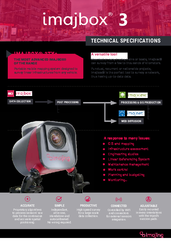
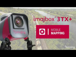
imajbox 3 TX+
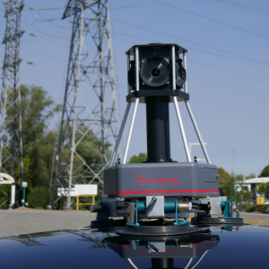
The new generation of imajbox® compact mobile mapping system
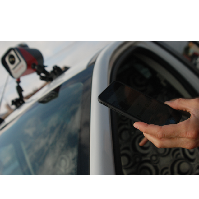
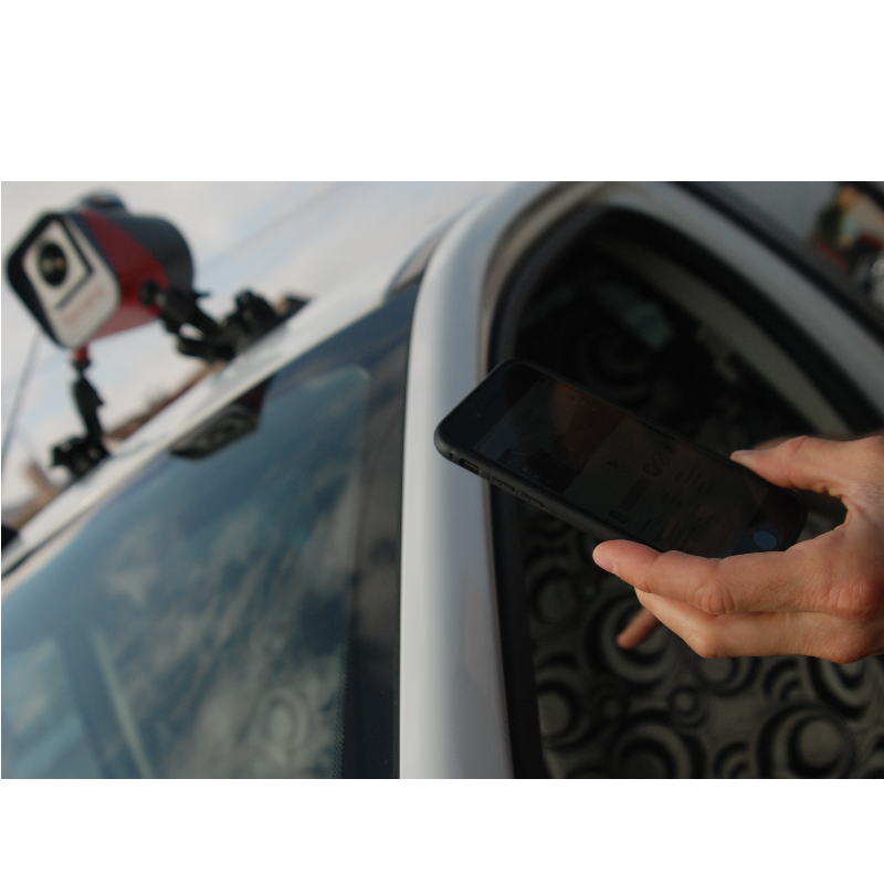
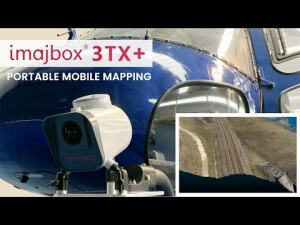
The imajbox is an all-in-one portable mobile mapping system designed for high speed and mass geo-referenced data collection from road and rail networks. This versatile tool can be installed inside or outside any vehicle, is compact, standalone and easy to use.

imajing
Labège, FR
Description
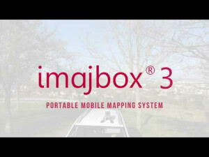
imajbox® is an all-in-one portable mobile mapping system designed for high speed and mass geo-referenced data collection along transportation and linear networks.
Compact, standalone, and easy-to-use, this versatile tool can be installed on any vehicle - cars, trucks, train, bikes or boats - and survey thousands kilometers.
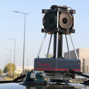
imajbox® technology merges data from a set of sensors to ensure accurate and continuous 3D positioning
- IMU
- GPS/GLONASS/Galileo/Beidou receiver
- operates a patented positioning algorithm.
The imajbox is an extreamely versatile tool that can be used for many different types of projects :
- GIS/CAD and mapping,
- Infrastructure assessment,
- Engineering studies,
- Linear Referencing System,
- Maintenance management,
- Work control,
- Planning and budgeting,
- Monitoring, etc.
Punctual, recurrent or nation wide projects, imajbox® is the survey tool to provide accurate up to date data.
Do you have questions about this product?
- Questions about price, availability, and/or retailers
- Questions about technical specifications and usage
- Questions about suitability for your project or application
Specifications
-
General
-
Year of initial introduction
2019
Application
Outdoor
Year of last update
2023
-
Positioning
-
GNSS receiver: Brand and model
Septentrio Mosaïc
Number of antennas
1
Update rate of GNSS receiver
5
IMU: Brand and model
DX4
IMU update rate [kHz]
400
Tracked GNSS signals
GPS GLO BEI GAL
-
Operation
-
Max. speed [km/hr]
306
Operating time [hr]
24
Built-in Stabilisation
N
Distinguishing features
Portable mobile mapping solution. All-in-one and standalone. Mass surveying production. Centimeter accuracy.
Main applications
Asset management for GIS and CAD. Transportation network control and monitoring. Corridor mapping.
Training provided
Y
-
Camera System
-
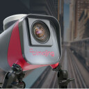
Brand and model
imajing imajbox® 3TX+
Number of cameras
1
Spectral Bands [PAN, RGB, NIR, CIR]
RGB
CCD size [.. x .. pixels]
4096x2160
Pixel size [micron]
3.45
FoV per camera [deg]
100
Maximum frames/sec. per camera
17
Export formats
JPG
-
Dimensions & Environment
-
Size with case
33x28x15
Weight [kg]
3
Min. Operation temp. [°C]
1
Max. Operation temp. [°C]
55
Max. humidity [%]
100
-
Included Processing Software
-
Photogrammetry Software
Imajing 3D Pro
Recommended software (If no software included)
IMAJVIEW
Other Software
Imajing Inertial Vision
-
Control Unit
-
Computer
Smartphone, Tablet or PC
WiFi
Y
Size hard disk [GB]
512
I/O port(s)
Ethernet/Trigger
Documents
Brochure
imajbox-3tx-en-1.pdf
310.17 KB
Other documents
-
Technical specifications359.22 KB


