
Description
Specifications
-
General
-
Year of initial introduction
2013
Year of last update
2017
Application
Indoor, Outdoor
-
Positioning
-
GNSS receiver: Brand and model
Different
Number of antennas
1
Update rate of GNSS receiver
20
IMU: Brand and model
Various
IMU update rate [kHz]
200
Wheel sensor: Brand and model
-
Number of wheel sensors
0
Tracked GNSS signals
RTK GNSSGPS L1, L2GLONASS L1, L2
Ground control point integration supported
Y
-
Operation
-
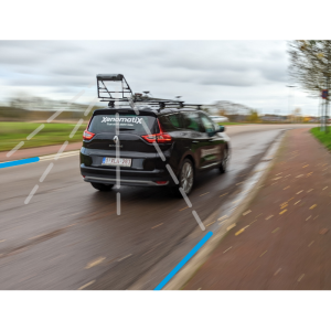
Max. speed [km/hr]
70
Built-in Stabilisation
N
Operating time [hr]
8
Main applications
Local Government "Smart City"Linear infrastructure: Road/Railways/WaterwaysTelecommunication and electricity suppliesTourismConstruction works and many others
Distinguishing features
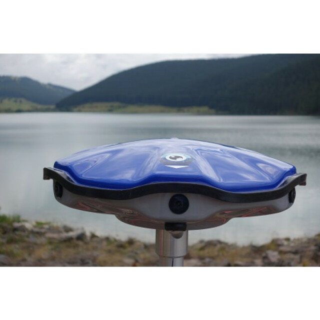
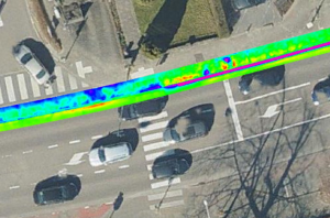
High-resolution 360 Panoramic mapping and virtual tour.Measurement on 3D model.Compact size, mounted on a backpack or any vehicle, like bicycle, boat, car etc.
Training provided
Y
-
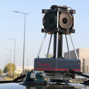
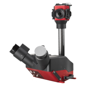
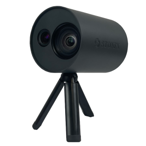
Camera System
-
Brand and model
Sony 12 Mpix
Number of cameras
6
Spectral Bands [PAN, RGB, NIR, CIR]
RGB
CCD size [.. x .. pixels]
4000x3000
Pixel size [micron]
1.55
FoV per camera [deg]
120
Maximum frames/sec. per camera
15
Export formats
RAW, JPG
-
Dimensions & Environment
-
Size with case
28x28x9
Weight [kg]
1.8
Min. Operation temp. [°C]
-10
Max. Operation temp. [°C]
60
Max. humidity [%]
80
-
Included Processing Software
-
Photogrammetry Software
FORTE (R) IMAGING
Project Management Software
FORTE (R) MAP Enterprise
Other Software
FORTE (R) MAP GIS
-
Control Unit
-
Computer
NVIDIA
Processor
NVIDIA
Size hard disk [GB]
256
WiFi
Y
I/O port(s)
2

