
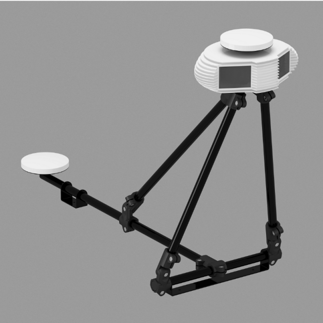
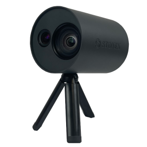
GeoMeter 3D
An intelligent PhoDar
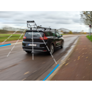
GeoMeter is a mapping device based fully on machine vision and photogrammetry.
INTERMAP Ltd.
Budapest, HU
Description
Specifications
-
General
-
Year of initial introduction
2019
Year of last update
2019
Application
Outdoor
-
Positioning
-
Number of antennas
2
Number of wheel sensors
0
Ground control point integration supported
Y
Update rate of GNSS receiver
20
-
Lidar Sensor
-
Number of laser scanners
0
-
Operation
-
Max. speed [km/hr]
90
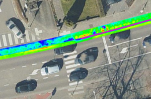
Main applications
corridor mapping, street survey
Operating time [hr]
8
Built-in Stabilisation
Y
Training provided
Y
-
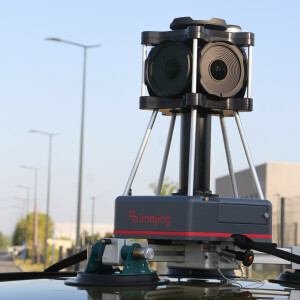
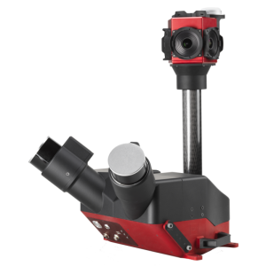
Camera System
-
Number of cameras
2
-
Dimensions & Environment
-
Weight [kg]
3
Min. Operation temp. [°C]
0
Max. Operation temp. [°C]
40
Max. humidity [%]
85
-
Included Processing Software
-
Other Software
GeoMeter loader
Recommended software (If no software included)
ForteMap
Laser Point Clouds Software
ForteMap 3D
-
Control Unit
-
Computer
GeoMeter Blackbox
Size hard disk [GB]
1000
WiFi
Y

