


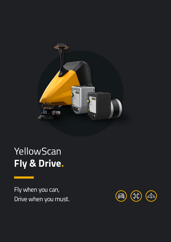
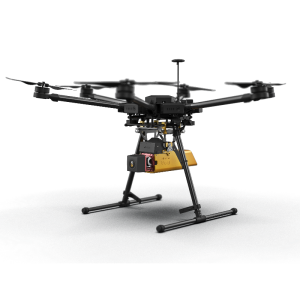
Fly&Drive
YellowScan Fly&Drive - UAV and Mobile mapping
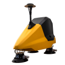
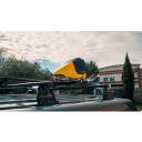
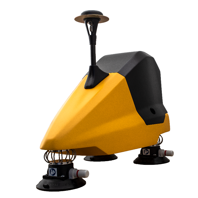
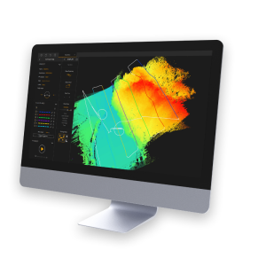
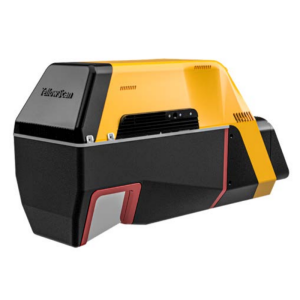
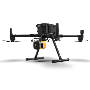
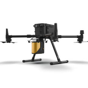
The YellowScan Fly & Drive is a versatile land vehicle-mounted or UAV-mounted mobile mapping system. It combines high-resolution laser scanning and precise positioning to collect geo-referenced point clouds for a wide range of applications.

YellowScan
Saint-Clément-de-Rivière, FR
Description
Do you have questions about this product?
- Questions about price, availability, and/or retailers
- Questions about technical specifications and usage
- Questions about suitability for your project or application
Specifications
-
General
-
Application
Indoor, Outdoor
-
Positioning
-
GNSS receiver: Brand and model
GNSS L1/L2 survey grade
IMU: Brand and model
Applanix APX-15 UAV
-
Lidar Sensor
-
Range precision (1 σ)
3
Brand
Hesai XT32M2X
Wavelength [nm]
905
-
Operation
-
Max. speed [km/hr]
25
-
Dimensions & Environment
-
Size with case
L 35 x W 57 x H 48 cm
Weight [kg]
5.32
Min. Operation temp. [°C]
-10
Max. Operation temp. [°C]
40
Max. humidity [%]
80
-
Included Processing Software
-
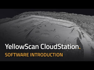
Laser Point Clouds Software
CloudStation
Documents
Brochure
ysbrochure-fly-drive.pdf
1.45 MB
Other documents
-
Datasheet (7)3.84 MB

