 Promoted
Mobile GIS Systems and Field Controllers
Mobile GIS is taking Geographic Information Systems (GIS) out of the office and into the field. A mobile GIS allows for the capture, storage, manipulation, analyzation, and display of geospatial data and information in the field. Field Controllers are devices that are connected to the GIS Systems and increase the operation of the Mobile GIS Systems.
Showing 1-15 of 48 results
Promoted
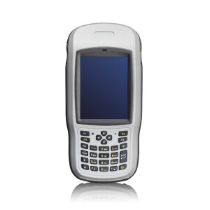
MobileMapper 6 Data Collector

Trimble TDC6
LT800
LT60H
LT800H RTK Tablet
R200 Data Collector
S50Ⅲ
R60 Data Collector
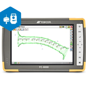
MAGNET Field
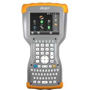
Allegro 2
ST100 Tablet
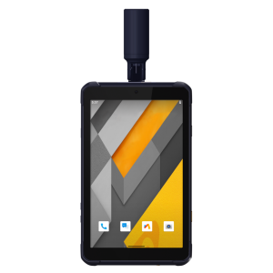
T8 Pro GNSS Tablet
T8 GNSS Tablet
SC100 Data Collector
Need some help? Ask a Geo-matching expert!
Our team and network of 1000+ manufacturers and developers is here to assist you.