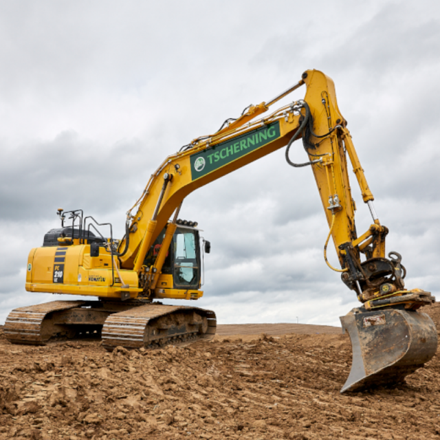
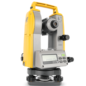
MC-Max Excavator
Excavator Control Systems Built to Keep You in Control
Finish faster with bucket awareness, The system constantly interacts with available GNSS constellations to track the excavator’s position on the planet, while sensors track the bucket’s relation to the target grade.

Topcon
Capelle aan den IJssel, NL
Description
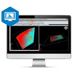
Choose to work in 2D or 3D, in guidance or automatic modes
If you just want an indication of bucket-depth in relation to grade, a 2D solution will provide the guidance you need and the freedom to dig on your terms. On the other hand, if you need to precisely know your grade and where on the site you are positioned, putting MC-Max in 3D automatic-mode will keep you on-grade and tracking the design file without over- or under-excavating.
Your excavator can work like three people…or more
Operating an excavator can be exhausting on its own but waiting for others can add delays and fatigue. What if your excavator could be part surveyor, part operator and part grade checker?
MC-Max Excavator can be set up to use its bucket to take topo shots, put in automatic control mode to implement designs like a veteran operator and constantly check its own grade work, keeping human grade checkers safely out of trenches and working on other tasks.
Do you have questions about this product?
- Questions about price, availability, and/or retailers
- Questions about technical specifications and usage
- Questions about suitability for your project or application
Specifications
-
General
-
Main design elements
-
Operation Characteristics
-
Integrated sensors
-
Display
-
Touchscreen
Documents
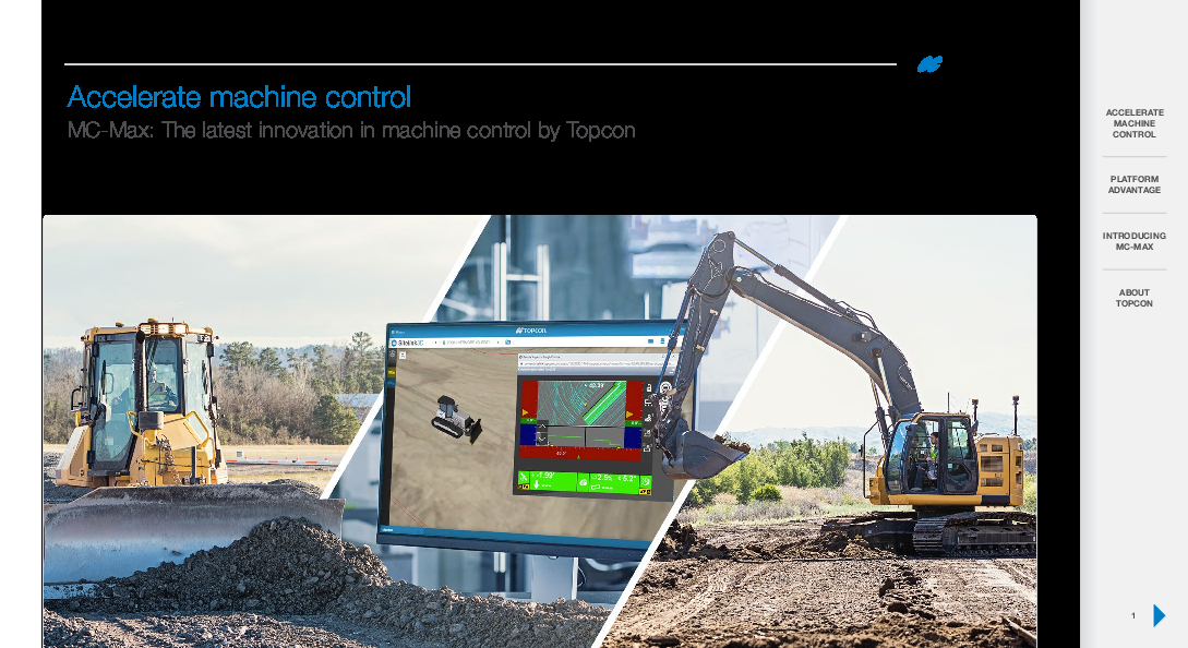
Brochure
topcon-mc-max-digitalbooklet-reva-en-us.pdf
8.57 MB
Related products
