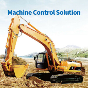
Machine Control Systems for Excavation, Milling, Paving and Grading
Machine control systems offers an overview of the latest developments of products in machine control solutions for milling, paving, grading and much more. The systems provide guidance and automate tasks for your operators. Macine control systems can (partly) robotize equipment, automate processes and give direct insight in the work.
Showing 1-15 of 15 results

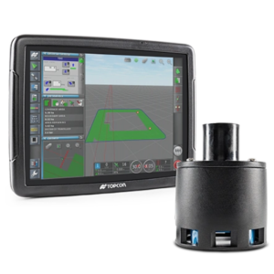
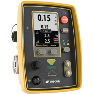
TD63 PRO
STX-DIG
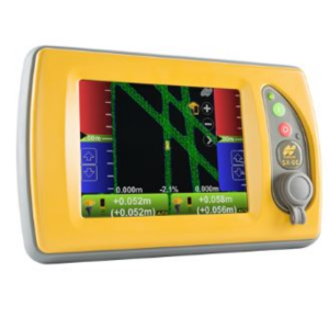
TG63
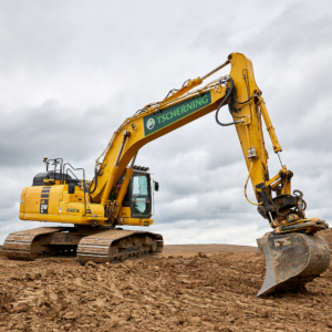
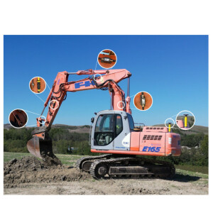
MC-Max Excavator

MC-Max Dozer
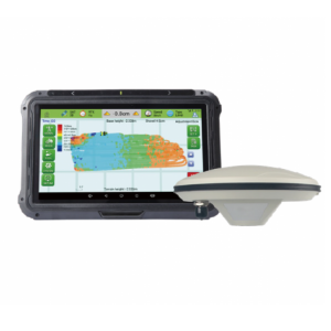
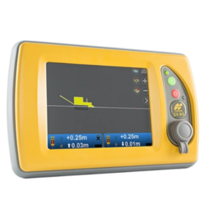
SL100 Land Leveling System
Tillage Depth Control
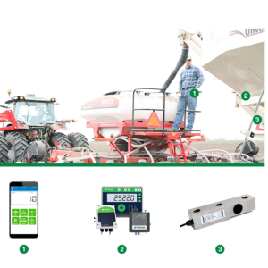
Universal Weighing (Cab Control App)
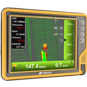
C-53 – Intelligent compaction
3D milling system
2D control for milling
Smoothride 3D-MC Controller
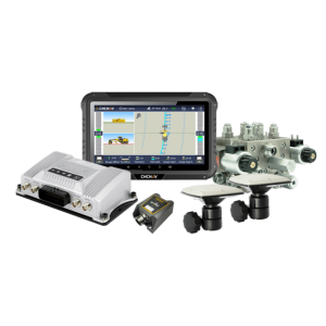
FJD G31 3D Excavator Guidance System
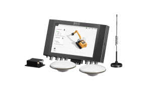
Smart Machine Control Solution
Need some help? Ask a Geo-matching expert!
Our team and network of 1000+ manufacturers and developers is here to assist you.