
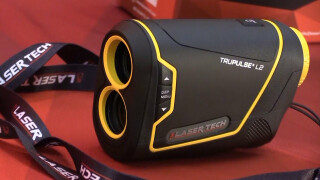
About Laser Tech
Laser Technology’s reflectorless measurement technology is the ideal solution for collecting field data.
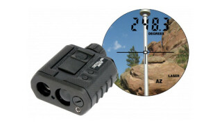
Imagine how much easier all your fieldwork would be if you didn’t have to occupy the actual spot where you needed a GPS location. LTI’s laser rangefinders integrate with GPS/GNSS devices and GIS software for a streamlined data collection experience. Remotely position features while measuring and recording additional attribute data such as heights, widths and clearance values. Capture more data in less time by integrating with Esri’s ArcGIS field apps and GNSS devices. With the laser mapping system integrated with the RTK/GNSS solution, you can safely position yourself to capture high accuracy coordinates around trees, buildings, or dangerous terrain. You also have the flexibility to easily integrate LTI lasers with systems and devices you already own!
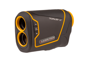
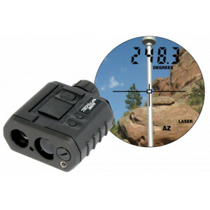
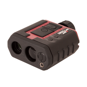
Featured products


Main office
-
6912 South Quentin Street
Suite A
Centennial, Colorado 80112
United States -
+1 303-649-1000
- https://lasertech.com/laser-distance-measurement/