
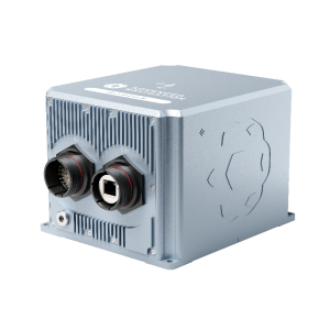
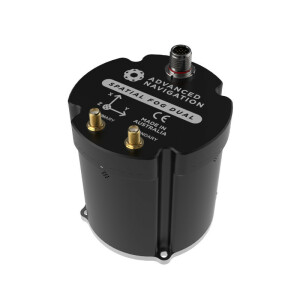
Spatial FOG
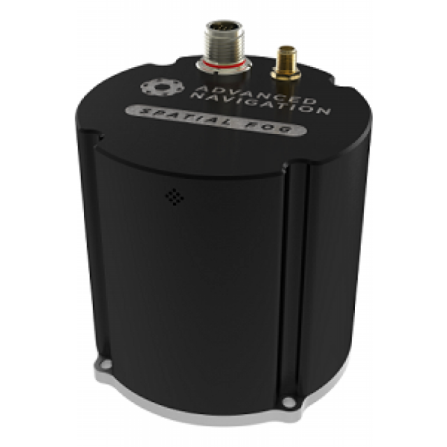
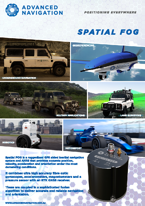
Spatial FOG is a ruggedized GPS aided inertial navigation system and AHRS that provides accurate position, velocity, acceleration and orientation under the most demanding conditions. It combines ultra-high accuracy fibre optic gyroscopes, accelerometers, magnetometers and a pressure sensor with an RTK GNSS receiver.

Advanced Navigation
Sydney, AU
Description
Spatial FOG is a ruggedized GPS aided inertial navigation system and AHRS that provides accurate position, velocity, acceleration and orientation under the most demanding conditions. It combines ultra high accuracy fibre optic gyroscopes, accelerometers, magnetometers and a pressure sensor with an RTK GNSS receiver.
Do you have questions about this product?
- Questions about price, availability, and/or retailers
- Questions about technical specifications and usage
- Questions about suitability for your project or application
Specifications
-
Other specifications
-
Graphical user interface
Y
Typical application
Underground/underwater navigation. Navigation in areas with poor GNSS reception.Applications requiring highest possible heading accuracy
Distinguishable features
Smallest in class - Extremely cost competitive - Proprietary fusion filter results in robust navigation under demanding conditions - RTK positioning to under 1cm - Upgradable with Dual-Antenna heading system - Supports wide range of peripherals -
Export restrictions
None. ITAR-FREE
-
Environmental
-
Non-operating shock tolerance [g]
25
Max. rotation speed [deg/s]
490
Min. operating temperature [°C]
-40
Max. operating temperature [°C]
75
-
Software
-
Name
Spatial FOG Manager
Filtering
N
Adaptable filter strength
Onboard hardware filter
Adaptable input signals
Y
Integrity monitoring of position input
Y
Integrity monitoring of log input
Y
-
GNSS aided uncertainty
-
Heading [deg]
0.05
Pitch [deg]
0.01
Roll [deg]
0.01
Heave: constant part [m]
0.02
Heave: variable part [%]
2
Increase in position uncertainty w.r.t. stand-alone GPS [m]
0.008
-
General
-
Year of initial development
2012
Height [m]
0.09
Width [m]
0.09
Length [m]
0.096
Weight [kg]
0.655
Min. Voltage (DC)
9
Max. Voltage (DC)
36
Power consumption [W]
6.6
Water resistant casting
Y
Water resistance [m]
1
Mean time between failures [hr]
36000
Type of accelerometer
MEMS
Type of gyro
FOG
Removable from base plate
N
Type of application
Air, Land, Marine, Space
Moving parts
N
-
Data formats
-
NMEA formats
Yes
RTCM
Y
Other
Advanced Navigation Packet Protocol
-
Inertial Measurement Unit
-
Accelerometer bias [µ-g]
50
gyro bias [deg/hr]
0.05
Calibration procedure
No calibration required
Documents
Brochure
migrationbox9oo.pdf
3.52 MB
Other documents
-
Product Manual (22)11.73 MB


