Improving LiDAR survey applications with a data-driven approach to hardware set-up

Join Jacob Amacker, OxTS Product Engineer at 15:30 hrs (GMT) on Thursday, 25th February as we talk about using data for boresight calibration. During the webinar you will:
- Learn why this calibration is so important.
- Understand how adopting a data-driven technique to calibration can help you streamline operations and increase ROI.
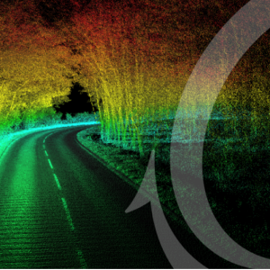
- See example before and after calibration results.
The webinar is free to register and all registrants will receive a recording after the event.

