 Promoted
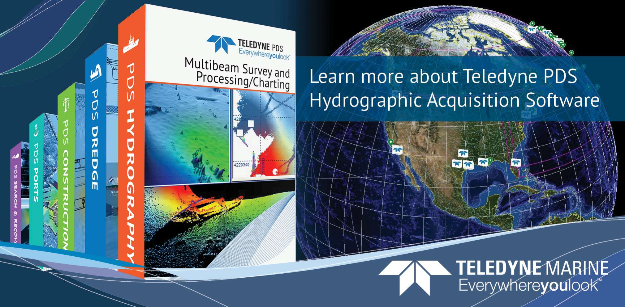
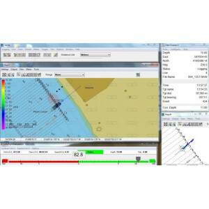
Hydrographic Acquisition Software
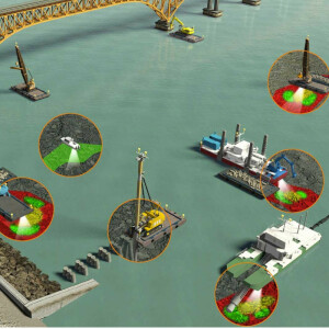
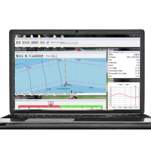
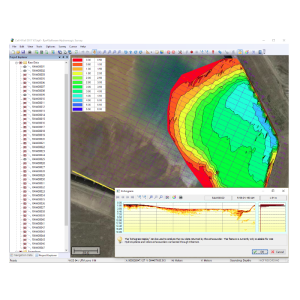
When looking to buy Hydrographic Data Acquisition Software, it is important to establish the requirements to find the best software for the job at hand. For every project, the technical skills of the users and the type of data will differ. Listed below is an overview of software packages and filters for the most important aspects of acquisition software for hydrographic and bathymetric surveying that a buyer should take into consideration before investing in such software.
Showing 1-13 of 13 results
Promoted
HYPACK ECHO

Onboard360
Hydromagic Survey
HYPACK® GEOPHYSICS
HYPACK LITE
HYPACK SURVEY
HYSWEEP
HYPACK MAX
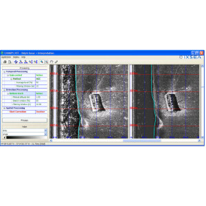
Delph Sonar Software
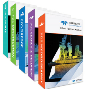
PDS Hydrography
NaviSuite Kuda – Acquisition

Qinsy
Need some help? Ask a Geo-matching expert!
Our team and network of 1000+ manufacturers and developers is here to assist you.