High Performance Drone Mapping with True View Solutions
Thu, Sep 23, 2021 at 5:00 PM (UTC)
1 hour
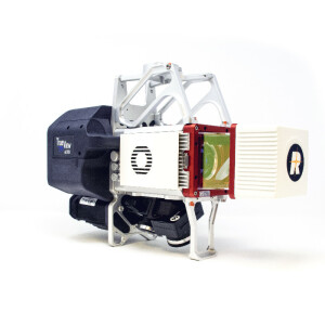
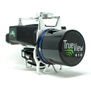
Explore drone Lidar & Imagery Solutions In this webinar, you’ll learn how True View solutions quickly and easily generate highly accurate true 3D colourized point clouds and inspection imagery from a single UAV flight.
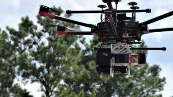
Explore drone Lidar & Imagery Solutions In this webinar, you’ll learn how True View solutions quickly and easily generate highly accurate true 3D colourized point clouds and inspection imagery from a single UAV flight. Our team understands the importance of having the right equipment and software to successfully conduct your mapping projects, therefore, we will evaluate each 3D Imaging Sensor’s performance and application focus to help users identify which 3DIS solution that best fits their needs.


