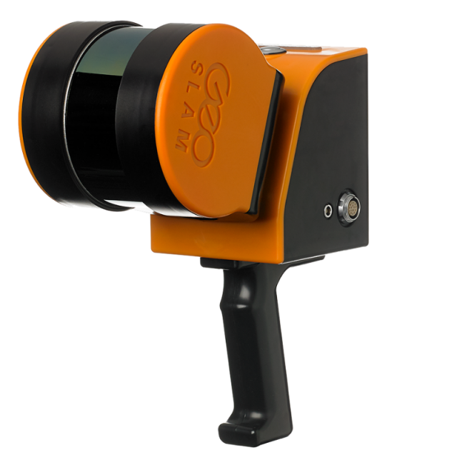
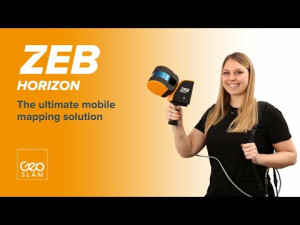
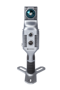
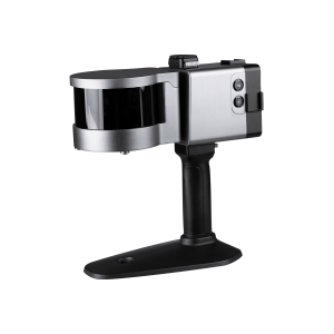
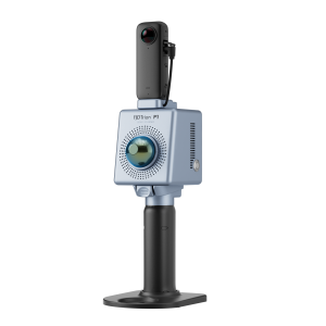
ZEB Horizon
The smart way to map and understand spaces.
ZEB Horizon is your tool to capture, process and understand the world around you.
GeoSLAM
NOTTINGHAM, GB
Description
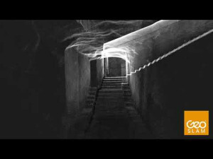
Create a map as you move. Outdoors, indoors or underground. It’s lightweight and compact design makes it simple whether you’re new to digital mapping, or a trained surveyor. With powerful SLAM technology at its heart (we call it GeoSLAM Beam), the ZEB Horizon can be used in areas with poor GPS – such as underground or in forests. Lightweight and rugged, simple to use, fast to capture and easy to process giving you the most accurate information you need to make the most important decisions.
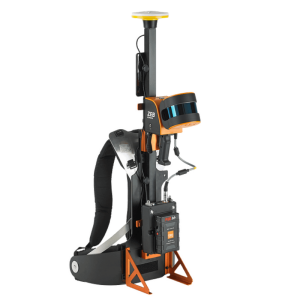
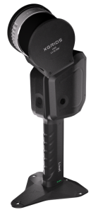
The ZEB Horizon is as flexible as you are. Use handheld or pair with one of our many mounting options. Take your ZEB to the skies by mounting to a UAV or reach those difficult places with the cradle or pole.
Specifications
-
General
-
Total Weight [kg]
2.85
Year of introduction
2018
Hardware Material
Scanner- plastic. Datalogger- aluminium base, plastic cover
-
Application
-
Main users
construction, forestry, engineering, architecture, mining, education, geospatial, security, defence
-
Scanning Characteristics
-
Max. Range [mm]
100000
Max. vertical field of view [deg]
360
3D measurement accuracy [mm]
up to 6mm
Data aquisition speed (points p/second)
300000
Laser Class
Class 1 / λ 905nm
Max. horizontal field of view [deg]
270
Color registration
Y
Scanning Speed
100Hz
Light source
Active
wavelength light source [nm]
903
-
Operation Characteristics
-
Operating temperature: min. [°C]
0
Operating temperature: max. [°C]
50
Humidity range [%]
<85%RH
-
Power
-
Scan time per battery [h]
1.5
Battery type
Li-Ion
-
More information
-
Distinguishable features
handheld, light-weight
-
Functionality
-
Software name
GeoSLAM Connect
Real time visualization during scanning
N
-
Connectivity and Sensors
-
USB Port
Y
WiFi
N
Bluetooth
N
Other Sensors and Ports
Ethernet


