Handheld Laser Scanners
Handheld Laser Scanning is a modern surveying method using laser systems (Lidar) in an easy-to-handle handheld device. Handheld Laser Scanners, also referred to as handheld mobile terrestrial laser scanning (HMTLS), are often used in surveying projects where accuracy of measurement is slightly less important compared to terrestrial laser scanning, and speed of surveying has a high priority.
Showing 1-15 of 17 results
LixelKity K1 Compact Handheld LiDAR Scanner
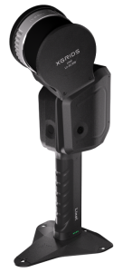
X70GO SLAM Laser Scanner
LS300 Laser Scanning
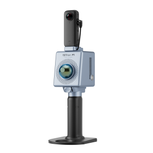
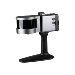
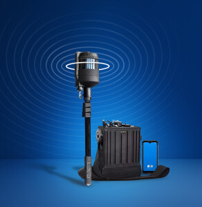
FJD Trion P1 LiDAR Scanner
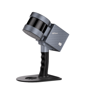
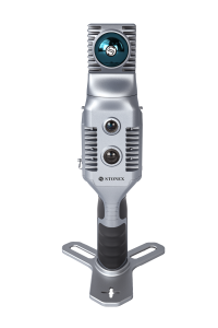
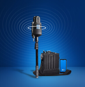
FJD Trion S1 Handheld LiDAR Scanner
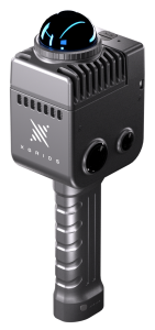
ALPHA GEO SLAM R100
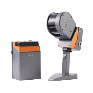
Lixel X1
Handheld 3D SLAM EasyScan M10
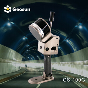
Geosun LiDAR GS-100G
Cygnus
X120GO SLAM Laser Scanner

LiGrip H300
HERON Lite Color
HERON Lite
Need some help? Ask a Geo-matching expert!
Our team and network of 1000+ manufacturers and developers is here to assist you.