
Navi GNSS Enhancement Service Platform(ESP)
A Just-In-Time Scalable, Variable Scope Solution for GNSS Measurements and Enhancements System
Providing real-time net RTK and CORS services, ESP is cloud-native and compatible with NTRIP, while providing modern features
HowayGIS
Shanghai, CN
Description
- The system provides customers with the ability to manage their own users, projects and stations, including basic visualization options, data and station health and management as well as in-system support.
- New users can register themselves on the platform via telephone number & SMS confirmation.
- Customers may add stations up to their package limit to their own accoun t.These may be set as referencstationson or rover
- They also may be set to public, in which case the station data will be publicly available to other users on the platform. A public does not count against your package limit.
- Stations of a customer may be organized into different projects foa r better overview.
- A setup wizard will enable a customer to deploy a basic differential positioning service with one reference station to use or set up a complex CORS enhancement network with multiple reference stations.
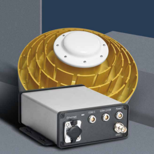
- The enhancement quality is dependent on the data quality a reference station receiver provides; for a geodetic-grade receiver, this should usually be millimetre precision.
- Station selection logic is configurable, but by default uses Navi-Tech algorithms.
- Public stations from other customers will also be able to be used in your own projects, as well as stations from various international networks.
- Since ESP is a cloud service, your service package may be tailored to your requirements.
- Pricing outside China will depend on your local cloud fees.
- Configurable is the number of concurrent stations that need to be actively providing service, the active service period, additional data storage time (after the active period has ended) and data return format(s).
- The service will be available in Q3/4 2022. Please contact us for the trial account
Specifications
-
General
-
Area of Application
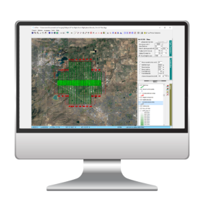
Real-time net RTK, post processing, improve the GNSS position accuracy
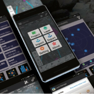
Mobile platform support
Android
Compatible drones
All
Desktop platform support
Windows
-
Flight Planning Characteristics
-
Flight modes


