
Description
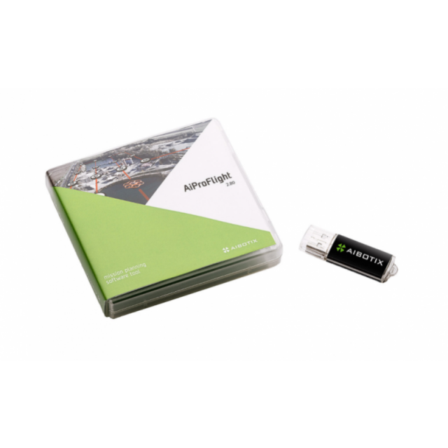
AiProFlight was developed to support the user in operating the Aibot X6 V2. Next to the basic functionality for planning automatic waypoint-flights, AiProFlight serves the user with additional functions to adopt the Aibot X6 V2 to suit their needs.
Specifications
-
General
-
Area of Application
Inspection, Mapping
Desktop platform support
Windows
Compatible drones
Aibot X6 V2
-
Flight Planning Characteristics
-
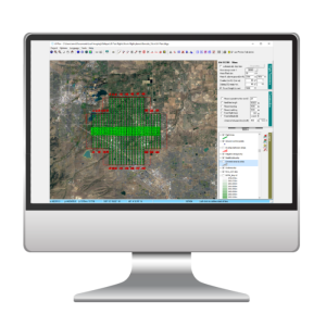
Mission flying types (grid, around point of interest, custom route, corrider etc.)
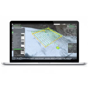
With the help of pre-planned routes, the Aibot can perform inspection and mapping flights of any pattern without manual piloting.
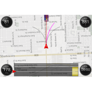
Flight modes
Automatic
3D flight planning
Y
Map-catching and offline planning
Y
Background map options (WMS, importable)
multiple available map providers
Show camera footprint on map
Y
-
Additional Features
-
User interface language
English
Offline sharebale flight planning
AiProFlight comes with an integrated cache system to enable saving map-tiles to your local PC. Each time you navigate to an area of the map previously unseen this map data will be cached from the selected map provider. If you plan to edit your waypoint plan without an internet connection navigate to the preferred area and zoom through all levels that you want to see offline. These map-tiles will be stored for offline usage.
Distinguishable features
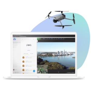
In autonomous flight mode, the Aibot X6 V2 can fly along waypoints automatically. The route is set with Aibotix AiProFlight flight planning software and transmitted wirelessly to the Aibot. With the help of pre-planned routes, the Aibot can perform inspection and mapping flights of any pattern without manual piloting.
-
Requirements
-
Hardware
• 1.6GHz or faster processor • Windows 7, or later 32 or 64 Bit Version • 3GB of RAM • 4GB of available hard-disk space (additional free space required during installation) • 1024x768 display resolution • Internet connection required for Installation and NTRIP services*
-
Geo-referencing
-
Base station integration
Y
RTK/PPK processing and validation
High Precision GNSS Monitor for RTK Connection
Geo-referencing of captured data
Y
NTRIP client for RTCM corrections (base station support)
Y
Image geotagging
Y
-
Data Capturing
-
Payload manager (for different sensor configurations)
Payload manager for different sensors including offset information
Vertical and oblique photoshooting
Y
Photogrammetry planner
Y
Automated camera support
Payload manager for different sensors including offset information
Videos


