Geo-matching | Your Product Platform for Surveying, Positioning and Machine Guidance Join Geo-matching now!

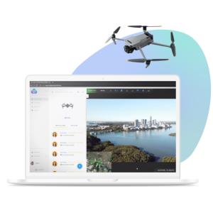
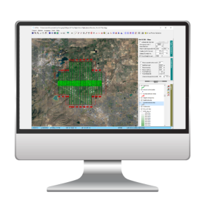
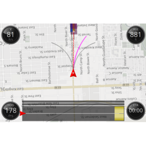
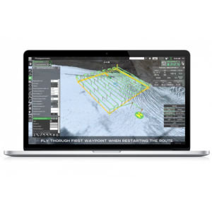
Ground Station Software

A ground station is typically a software application, running on a ground-based computer, that communicates with your UAV via wireless telemetry. It displays real-time data on the UAVs performance and position and can serve as a “virtual cockpit”, showing many of the same instruments that you would have if you were flying a real plane. A GCS can also be used to control a UAV in flight, uploading new mission commands and setting parameters. It is often also used to monitor the live video streams from a UAV’s cameras.
Service man
Not sure which product you need?

We can help you find the right solution!

Supplier question
Got a question?

We have over 80 suppliers in multiple working fields who are happy to assist!

Filtering
Reset

Products

11 results
Phase One iX Suite - Flight Planning Software
iX Suite

Phase One A/S

With iX Suite, you can manage aerial mapping projects, from planning the mission to delivering the final images for photogrammetry. iX Suite Process ensures that all

Cloud Ground Control (CGC) | compare similar products on Geo-matching
Cloud Ground Control (CGC)

Advanced Navigation

Cloud Ground Control (CGC) is a state-of-the-art cloud-based command and control solution for operators and manufacturers of uncrewed air, land and sea vehicles.

SPH UgCS Ground station software - Compare with Similar Products on Geo-matching.com
UgCS

SPH Engineering

UgCS is one of the world's leading flight planning software solutions for drones with users in more than 150 countries. Since 2013 the team has constantly been worki

U-Pilot autopilot
Airelectronics U-Pilot Autopilot

Airelectronics

Our on-board hardware can fly equally fixed and rotary wing aircrafts during all the extent of its mission: from take-off to landing, always in automatic mode with a

Veronte Autopilot
Veronte Autopilot

Embention

eMotion Flight Planning Software eBee X series
eMotion 3

AgEagle Aerial Systems Inc.

With eMotion, flights are built using mission blocks. Just choose your block (aerial mapping, corridor etc.), highlight the region you want to map, define key settin

Phoenix MissionGuidancet ground station software -Compare with Similar Products on Geo-matching.com
MissionGuidance

Phoenix LiDAR Systems

Phoenix LiDAR Systems’ MissionGuidance is designed to help streamline manned LiDAR data acquisition by providing automated navigation and tools for the pilot to stay

Drone Harmony Software Platform for Enterprise Grade Data Acquisition
Drone Harmony Data Capture Platform

Drone Harmony

A complete software platform to automatically plan and operate your drone data acquisition workflows in 3D. Access everything from enterprise-wide views to individua

eSurvey GNSS.NET Ground station software - compare it with other similar products on geo-matching.com
GNSS.NET

eSurvey GNSS

GNSS.NET is the software to combine multiple base stations as a network providing VRS service. It includes functions such as station management, user management, phy

HowayGIS Navi GNSS Enhancement Service Platform(ESP) - -Compare with Similar Products on Geo-matching.com
Navi GNSS Enhancement Service Platform(ESP)

HowayGIS

Providing real-time net RTK and CORS services, ESP is cloud-native and compatible with NTRIP, while providing modern features

You have selected 2 products to compare you can add 4 more products