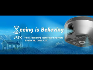


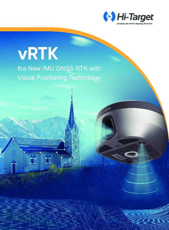
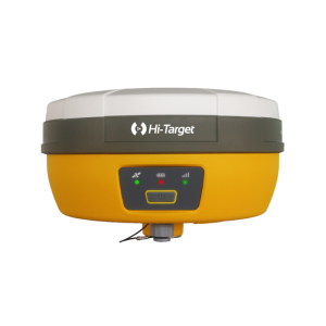
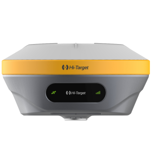
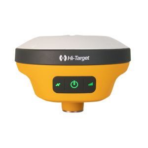
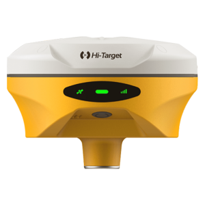
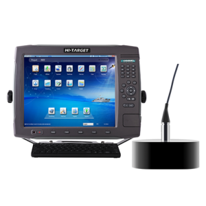
vRTK GNSS RTK System
Innovative Integration of Vision & Surveying
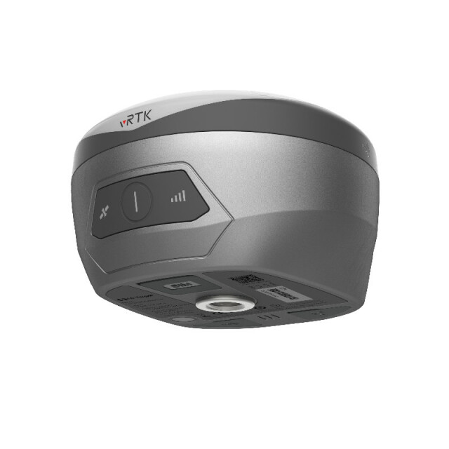
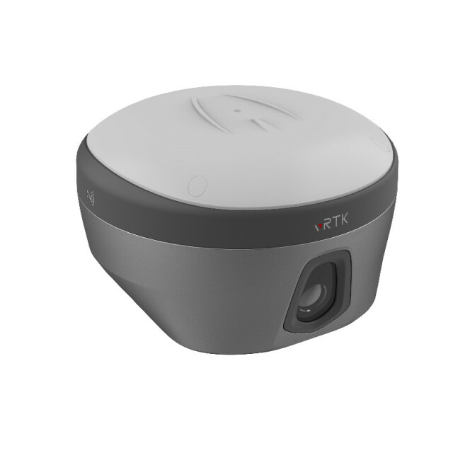
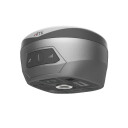
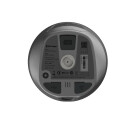
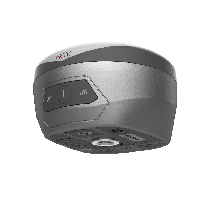
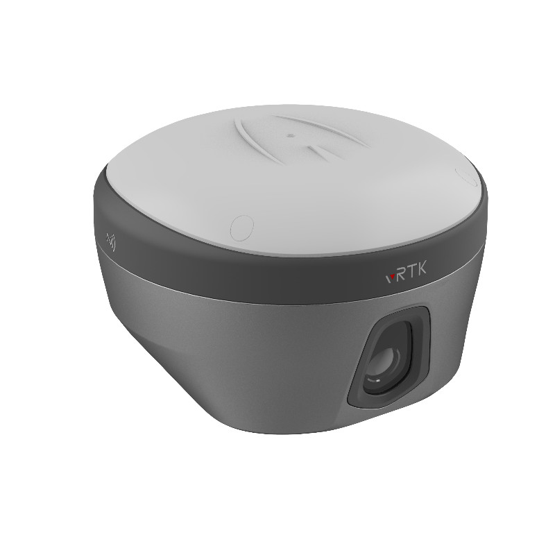
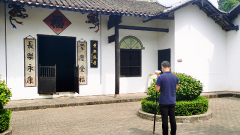
vRTK is a lightweight and innovative visual RTK receiver from Hi-Target. It is equipped with dual cameras that allow for non-contact image surveying, breaking through the objective constraints of previous work. vRTK also improves the speed of stakeout with its Live View Stakeout function. This greatly improves the work efficiency of engineering users.

Hi-Target
Guangzhou, CN
Description
Non-contact image surveying
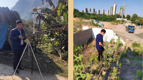
vRTK's dual cameras allow for non-contact image surveying, which is a major improvement over traditional surveying methods that require physical contact with the ground. This makes vRTK ideal for surveying in difficult or dangerous environments, such as construction sites or hazardous waste areas.
Live View Stakeout
vRTK's Live View Stakeout function allows users to see the real-time location of points on a map, which makes it much easier and faster to stake out points. This is a major time saver for engineering users, who can now stake out points more accurately and efficiently.
Improved work efficiency
vRTK's non-contact image surveying and Live View Stakeout functions greatly improve the work efficiency of engineering users. This is because vRTK allows users to survey and stake out points more quickly and accurately, which saves time and money.
The vRTK is a powerful and innovative visual RTK receiver that is ideal for engineering users who need to improve their work efficiency.
Do you have questions about this product?
- Questions about price, availability, and/or retailers
- Questions about technical specifications and usage
- Questions about suitability for your project or application
Specifications
-
More information
-
Distinguishable features
vision and surveying
-
Power
-
Operating power: min. [V]
5
Operating power: max. [V]
5.5
Typical consumption [W]
2.6
Internal power supply
Yes
External power supply
Yes
Operating time with internal power supply [hr]
15
Certifications
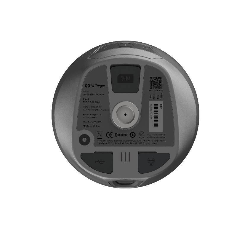
CE\FCC\IP68
Rechargeable with (auto)battery
Yes
Direct car connection cable available
No
-
Performance
-
No. channels
1408
Max. simultaneous tracked channels
1408
Tracked satellite signals
BDS:B1I,B2I,B3I,B1C,B2a,B2b*;GPS:L1C/A,L1C,L2P(Y),L2C,L5;GLONASS:L1,L2;GALILEO:E1,E5a,E5b,E6*;QZSS:L1,L2,L5,L6*;IRNSS:L5*
SBAS differential signals
EGNOS, WAAS, MSAS,GAGAN,QZSS
Type of measurements
Full Carrier phase
Reacqisition time [s]
2
RTK Network Compatibility
Yes
MRS functionality
Yes
-
General
-
Type
Land
Year of initial introduction
2022
Height [m]
0.079
Width [m]
0.138
Total Weight [kg]
0.98
Housing Material
Magnesium
-
Horizontal uncertainty
-
code: DGNSS/RTC (constant part) [m]
0.25
code: DGNSS/RTC (variable part) [ppm]
1
phase: RTK rapid static (constant part) [m]
0.0025
phase: RTK rapid static (variable part) [ppm]
0.5
phase: RTK kinematic (constant part) [m]
0.008
phase: RTK kinematic (variable part) [ppm]
1
phase: static post processing (constant part) [m]
0.0025
phase: static post processing (variable part) [ppm]
0.5
phase: kinematic post processing (constant part) [m]
0.008
phase: kinematic post processing (variable part) [ppm]
1
Initialization time on the fly [s]
2
RTK network solution methods
VRS,FKP,MAC
-
Communication: Protocols
-
RTCM standards for differential data
RTCM2.X,RTCM3.X
Other formats for differential data
NMEA-0183
Configuration method
PC software
-
Recording
-
Memory medium
internal
Data capacity [MB]
8192
Data input
GNS,Rinex Dual Format Static Data
-
Communication: general
-
Communication ports
USB type C interface; SMA interface; Nano SIM card slot
Simultaneous links
Y
PPS Out
N
Bluetooth
Y
-
Environment
-
Operating temperature: min. [°C]
-40
Operating temperature: max. [°C]
75
Humidity resistance
100%
Water sand and dust proof
IP68
Shock and vibration proof
2m
ROHS compliance
N
WEEE compliance
N
-
Communication: links
-
Radio modems
Internal
GSM; UMTS phone modems
"Built-in 4G network communication: TDD-LTE,FDD-LTE,WCDMA,TD-SCDMA,EDGE,GPRS,GSM"
Documents
Brochure
vrtk-brochure-en-20220629-s.pdf
5.58 MB
Videos
