

Description
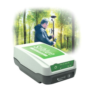
BAAM Tech's PPK system is designed the stream line the aerial mapping process. The PPK system uses GPS L1/L2 and GLONASS G1/G2, BeiDou B1/B2, Galileo E1/E5b and SBAS constellations in its base package, which allows for extremely fast acquisition times, and very reliable data.
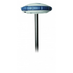
The PPK system is designed to be swapped between aircraft and terrestrial GPS rovers. This allows the user to collect control points or do check points with the ground rover, then plus the same GPS into the aircraft and fly. This eliminates the need for expensive GPS systems during flights.
Specifications
-
Power
-
Operating power: min. [V]
9
Operating power: max. [V]
40
-
Performance
-
Tracked satellite signals
GPS L1/L2 and GLONASS G1/G2, BeiDou B1/B2, Galileo E1/E5b and SBAS constellations in its base package
SBAS differential signals
Y
Reacqisition time [s]
60
RTK Network Compatibility
Y
-
General
-
Type
Aerial, Land
Year of initial introduction
2


