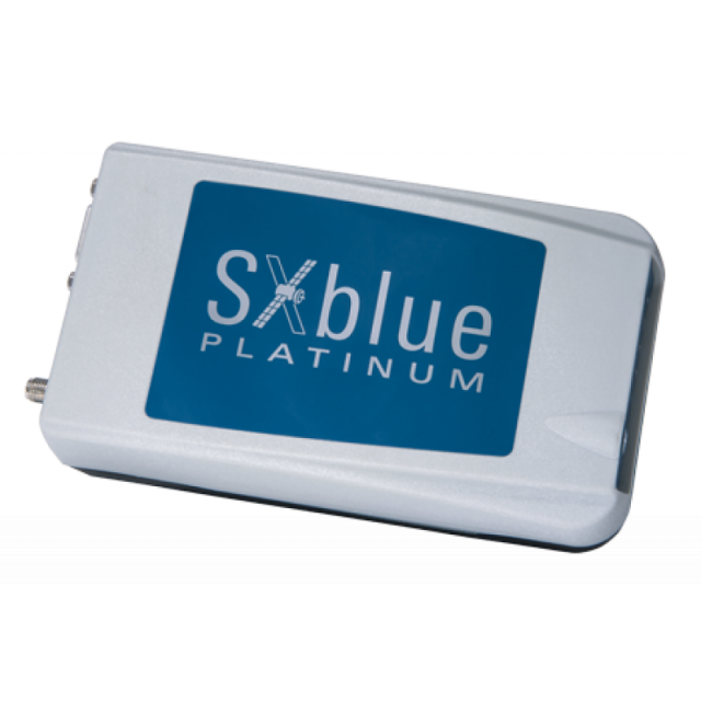
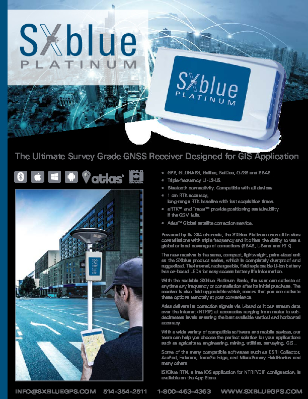
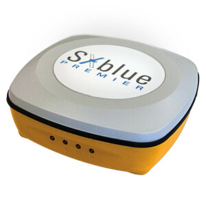
SXblue Platinum
The Ultimate Survey Grade GNSS Receiver Designed for GIS Application
Scalable GNSS receiver GPS or all GNSS constellations Global (Atlas L-Band) or local RTK corrections services

SXblue
Montreal, CA
Description
- Scalable GNSS receiver
- GPS or all GNSS constellations
- Global (Atlas L-Band) or local RTK corrections services
Scalable – Remotely activable Options/Subscription
Compatible with all satellite constellations. Equipped with a multi-frequency reception capability, it offers the possibility of using a global coverage of a satellite correction signal (SBAS, L-Band). Scalable and optimizable. All options can be activated remotely or in the field for the desired period.
Accuracy advantage
For territories where corrections services are not available, Atlas™ global satellite correction service provides correction data by the L-band or with an Internet link (NTRIP) with centimetre or decimetre accuracy. Whether it’s South America, Africa or any region without infrastructure, the SXblue Platinum gives you the best vertical and horizontal available accuracy.
Applications
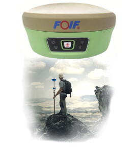
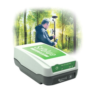
With a wide variety of compatible software and mobile devices, our team can help you choose the perfect solution for your applications, be it land use planning, forestry, infrastructure and utility inventory, geolocation for geological and mining exploration and more.
Do you have questions about this product?
- Questions about price, availability, and/or retailers
- Questions about technical specifications and usage
- Questions about suitability for your project or application
Specifications
-
More information
-
Distinguishable features
- Triple-frequency L1-L2-L5.- Bluetooth connectivity. Compatible with iOS, Windows and Android devices- 1 cm RTK accuracy,- aRTK™ and Tracer™ provide positioning sustainability if the GSM fails.- Atlas™ Global satellite correction service.
-
Power
-
Operating power: min. [V]
6.6
Operating power: max. [V]
7.4
Typical consumption [W]
3.5
Internal power supply
Y
External power supply
N
Operating time with internal power supply [hr]
10
Certifications
FCC, CE, Lead-free
Rechargeable with (auto)battery
EXTERNAL CHARGER
Direct car connection cable available
Y
-
Performance
-
Tracked satellite signals
GPS - L1CA, L1P, L1C, L2P, L2C, L5GLONASS - G1, G2, P1, P2BeiDou - B1, B2, B3Galileo - E1BC, E5a, E5bQZSS - L1CA, L2C, L5, L1C
SBAS differential signals
WAAS, EGNOS, MSAS, GAGAN
Type of measurements
FULL WAVELENGTH CARRIER PHASE; C/A code; P code
Reacqisition time [s]
1
RTK Network Compatibility
Y
MRS functionality
Y
-
General
-
Year of initial introduction
2017
Height [m]
0.047
Depth [m]
0.141
Width [m]
0.08
Total Weight [kg]
0.6
Housing Material
NYLON/ABS
Type
Land, Marine
-
Horizontal uncertainty
-
code: DGNSS/RTC (constant part) [m]
0.30
code: DGNSS/RTC (variable part) [ppm]
1
phase: RTK kinematic (constant part) [m]
0.03
phase: RTK kinematic (variable part) [ppm]
1
phase: static post processing (constant part) [m]
0.008
phase: static post processing (variable part) [ppm]
1
phase: kinematic post processing (constant part) [m]
0.01
phase: kinematic post processing (variable part) [ppm]
1
RTK network solution methods
VRS, RTCM2, RTCM3
-
Communication: Protocols
-
RTCM standards for differential data
RTCM v2.3, RTCM v3.2
CMR standards for differential data
CMR, CMR+
Other formats for differential data
ROX Format
NMEA output format
NMEA 0183
other output formats
Binary
L-Band Compatible
ATLAS Service
Configuration method
PC software
-
Recording
-
Memory medium
External
Type of data (on board recording)
NMEA 183, RTCM 104, Binary
-
Communication: general
-
Communication ports
RS-232C, USB 2.0
Simultaneous links
Y
PPS Out
Y
Bluetooth
Y
-
Environment
-
Operating temperature: min. [°C]
-40
Operating temperature: max. [°C]
85
Humidity resistance
95% non-condesing
Water sand and dust proof
IP 65
Shock and vibration proof
Designed to withstand 1 m drop
ROHS compliance
Y
-
Communication: links
-
Radio modems
External
GSM; UMTS phone modems
External
CDMA phone modems
External
Landline modems
External
Documents
Brochure
migrationsomxe3.pdf
349.33 KB
Videos
