
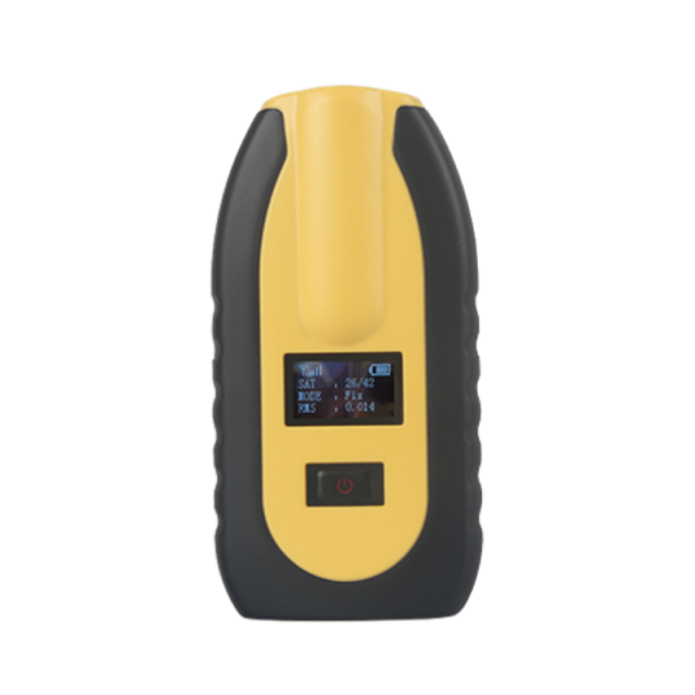

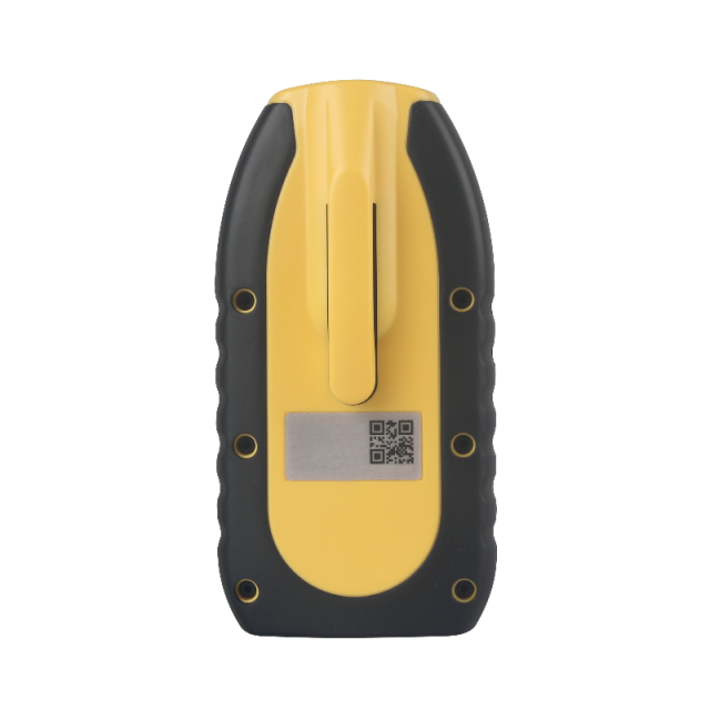


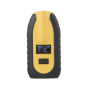
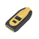
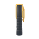
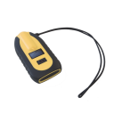


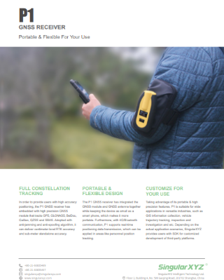
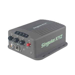
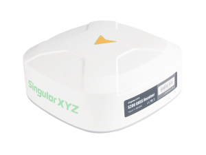
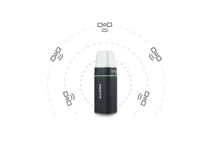
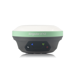
P1 GNSS Receiver
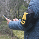
Portable & Flexible For Your Use
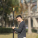
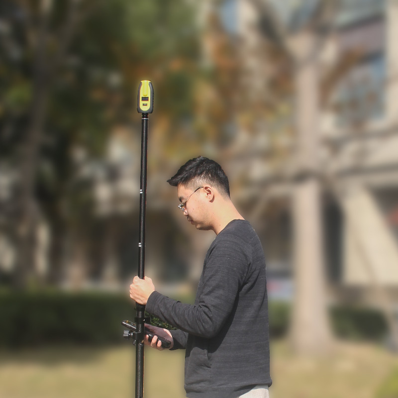
The P1 can provide centimeter accurate positioning with wearable size & 4G communication. Capable of tracking GPS, Glonass, BeiDou, Galileo, QZSS and SBAS. The P1 offers 4G/Bluetooth communication, an integrated GNSS module and a GNSS antenna while keeping the device as small as a smartphone. The P1 is suitable for wide applications in versatile industries.

SingularXYZ Intelligent Technology Ltd.
Shanghai, CN
Description
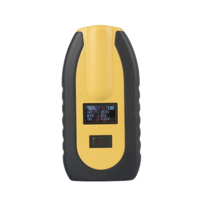
Full Constellation
Embedded with a high precision GNSS module that tracks GPS, Glonass, BeiDou, Galileo, QZSS and SBAS, adopted with anti-jamming and anti-spoofing algorithm, the P1 can deliver centimeter-level RTK accuracy and sub-meter standalone accuracy.
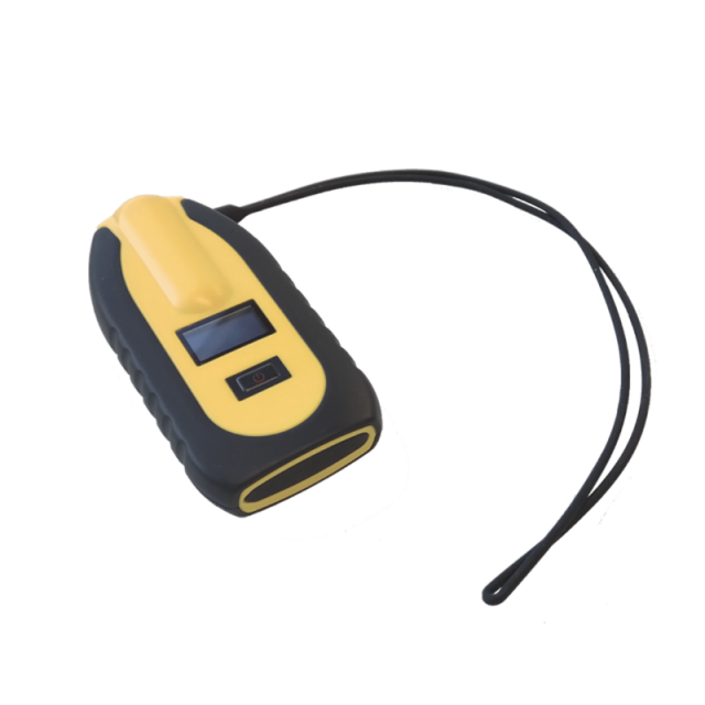
Flexible Transmission
With 4G/Bluetooth communication, P1 supports real-time positioning data transmission, which can be applied in areas like personnel position tracking.
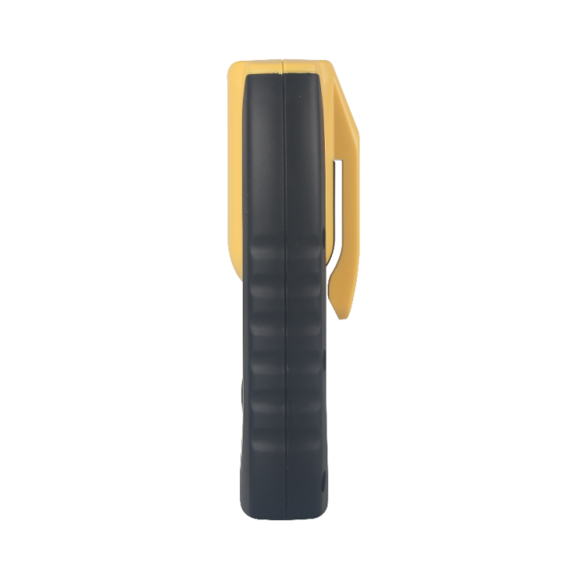
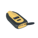
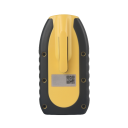
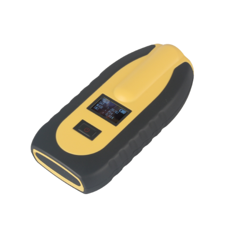
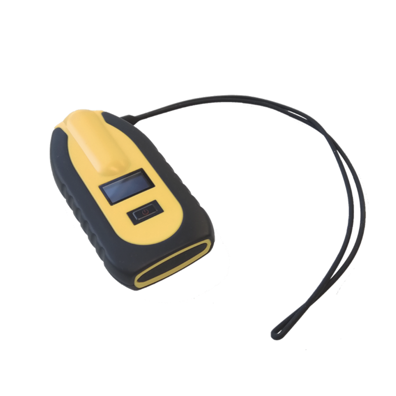
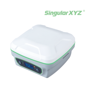
Portable Design
The P1 GNSS receiver has an integrated GNSS module and GNSS antenna together while keeping the device as small as a smart phone, which makes it more portable.
Customizable for Your Use
Taking advantage of its portable and high precision features, the P1 is suitable for wide applications in versatile industries. Depending on the actual application scenarios, SingularXYZ provides users with SDK for customized development of third-party platforms.
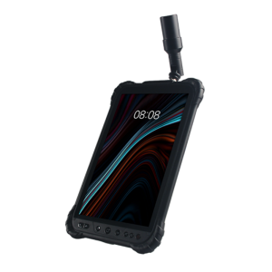
Field Software
SingularSurv and SingularPad are both Android-based field surveying software, providing static/RTK/PPK survey modes, full base/rover work modes, abundant formats, user-friendly interaction, professional survey methods and much more.
Wide Applications
Taking advantage of its portable and high precision features, the P1 is suitable for wide applications in versatile industries, such as GIS information collection, vehicle trajectory tracking, inspection and investigation.
Do you have questions about this product?
- Questions about price, availability, and/or retailers
- Questions about technical specifications and usage
- Questions about suitability for your project or application
Specifications
-
More information
-
Distinguishable features
Portable & wearable
-
Power
-
External power supply
5V, 2A
Operating time with internal power supply [hr]
14
Rechargeable with (auto)battery
Y
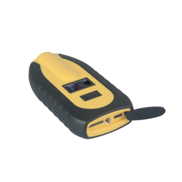
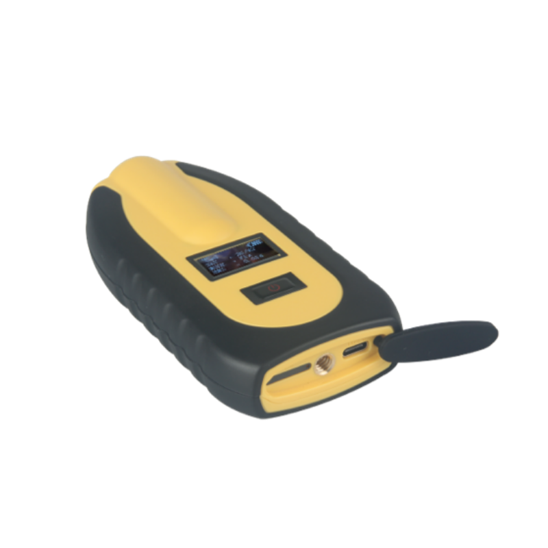
Connectors
USB - Type-C
-
Performance
-
Tracked satellite signals
GPS: L1C/A, L2C GLONASS: L1OF, L2OF BDS: B1I, B2I GALILEO: E1B/C, E5b QZSS: L1C/A, L1S, L2C
SBAS differential signals
L1C/A
Type of measurements
RTK
RTK Network Compatibility
Y
-
General
-
Type
Land
Year of initial introduction
2022
Height [m]
0.022
Depth [m]
0.062
Width [m]
0.1225
Total Weight [kg]
0.146
-
Horizontal uncertainty
-
phase: RTK kinematic (constant part) [m]
± 10mm Horizontally, ± 20mm Vertically
phase: RTK kinematic (variable part) [ppm]
1
-
Communication: Protocols
-
RTCM standards for differential data
RTCM 2.x, 3.x
NMEA output format
NMEA-0183 messages
Configuration method
Bluetooth
-
Communication: general
-
Communication ports
USB - Type-C
Bluetooth
Y
-
Environment
-
Operating temperature: min. [°C]
-40
Operating temperature: max. [°C]
85
Humidity resistance
100% no condensation
Water sand and dust proof
IP67
Shock and vibration proof
Survive from a 1.5m-drop
-
Communication: links
-
GSM; UMTS phone modems
GSM/GPRS/EDGE (Band 850/900/1800/1900 MHz)
CDMA phone modems
WCDMA (Band 850/900/1900/2100 MHz)
Documents
Brochure
de3b80dd10e03b01.pdf
Videos