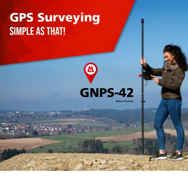
NESTLE GNPS-42
GPS Surveying SIMPLE AS THAT!
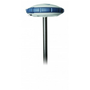
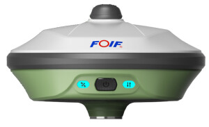
The NESTLE GNPS-42 system sets the standard for entry-level satellite positioning systems. The NESTLE GNPS-42 is a precise, light, mobile satellite measuring system for point recording and stakeout. The simultaneous use of 4 satellite systems (GPS, GLONASS, GALILEO, BEIDOU) enables measurements to be carried out conveniently. During development, we paid particular attention to users without special knowledge in the area of surveying applications.
Gottlieb Nestle GmbH
Germany
Description
NESTLE GNPS-42 System for real-time positioning (RTK) for recording and staking out points and geometric shapes for
• Planning, Monitoring, Documentation
• Volume, Area calculation
• Building surveys
• Field surveys, Topography
• GIS acquisition
• Management documentation, ...
The On2go app for the GNPS system, of Gottlieb Nestle GmbH, is
an application for mobile satellite positioning in real time (RTK).
The app offers simple calculations for lengths, distances, height
differences, area and volume determinations directly in the field.
Numerous of formats are available for import and export
(e.g. DXF, KML, CSV, SHP, …).
You control your system with the easy-to-learn app On2go on An-
droid. The app is suitable for many surveying work in the field by
anyone.
- 4 satellite systems tracking (GPS, Glonass, Galileo, Beidou)
- Complete system extremely light (1,8 kg ready to measure)
- Easy to learn
- Innovative technology
- Modern 8“Android tablet
- NESTLE On2go app
- Accuracy (RTK fixed) H: 10 mm +1 ppm, V: 18 mm +1 ppm
- Weatherproof
- Made in Germany
click here for Datasheet
Specifications
-
Power
-
Internal power supply
LI-ION
External power supply
optional Powerbank
Operating time with internal power supply [hr]
6
Certifications
CE
Rechargeable with (auto)battery
USB-C Port
Direct car connection cable available
USB
-
Performance
-
Tracked satellite signals
GPS, GLONASS, BEIDOU, GALILEO
RTK Network Compatibility
only by RTK
-
General
-
Type
Land
Year of initial introduction
2020
Height [m]
2
Total Weight [kg]
1.8 kg ready to measure
Housing Material
Carbon pole, Tablet, Holder Metal
-
Recording
-
Memory medium
Tablet Galaxy TAB2
-
Communication: general
-
Communication ports
USB-C
Bluetooth
Y
-
Environment
-
Operating temperature: min. [°C]
-20
Operating temperature: max. [°C]
50
Humidity resistance
YES
Water sand and dust proof
Antenne IP67, Feldrechner IP68, Sensorbox IP54
ROHS compliance
Y
WEEE compliance
Y
-
Communication: links
-
GSM; UMTS phone modems
YES on Tablet