
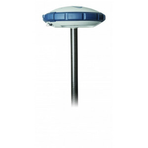
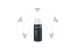
Dual-frequency GNSS receiver GM SMART
Dual-frequency GM SMART GNSS RTK L1/L2 Receiver for Working With Any Navigation Programs and the Ability to Increase Accuracy up to 1 CM in RTK Mode
It has 698 channels to work with all available satellite systems: GPS, GLONASS, GALILEO, BEIDOU, QZSS, IRNSS, SBAS.
Geometer International LLC
Dnipro, UA
Description
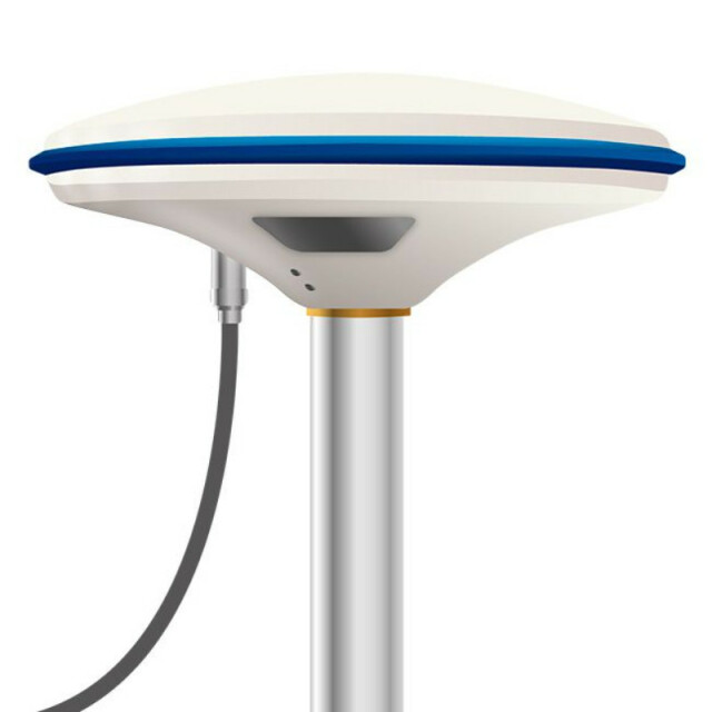
Dual-frequency GM SMART GNSS RTK L1/L2 receiver for working with any navigation programs and the ability to increase accuracy up to 1 cm in RTK mode. It has 698 channels to work with all available satellite systems: GPS, GLONASS, GALILEO, BEIDOU, QZSS, IRNSS, SBAS.
Dual-frequency GM SMART GNSS RTK L1/L2 receiver has a built-in DP software filter designed for use with agricultural guidance systems. Thanks to the DP filter, high accuracy of relative coordinates is ensured during parallel driving using free satellite signal. When working with a GM Smart receiver, the geometer and geotrack application automatically configures the receiver to perform its tasks: Smoothing guidance or RTK mode is turned on. In the smoothing mode, you get a stable coordinate during the work, without random throws in different directions.
Dual-frequency GM SMART GNSS RTK L1/L2 receiver can accept corrections from a Base Station or CORS network supplier to achieve an accuracy of up to 2.5 cm. The Base Station distance can be 50 km or more to get FIXED status in RTK mode. It is possible to modify the receiver with a LoRa radio modem, as well as broadcast corrections in the local network of the enterprise.
Dual-frequency GM SMART GNSS RTK L1/L2 receiver is ideal for any operation:
- accurate measurements
- land surveying
- stake-out
- soil preparation
- sowing work
- fertilizer spreading
- spraying
- accurate mapping
Dual-frequency GM SMART GNSS RTK L1/L2 receiver will work perfectly with any mapping software, as well as with programs for measuring areas, distances, for agricultural guidance.
Specifications
-
Performance
-
No. channels
698
Max. simultaneous tracked channels
40
-
General
-
Type
Land
Year of initial introduction
2019
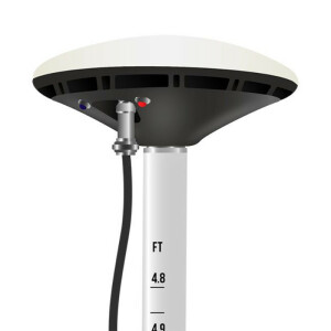
Height [m]
0.064
Depth [m]
0.17
Width [m]
0.17
Total Weight [kg]
0.53
-
Communication: general
-
Bluetooth
Y
-
Environment
-
Operating temperature: min. [°C]
-20
Operating temperature: max. [°C]
85
Water sand and dust proof
IP67
