
Description
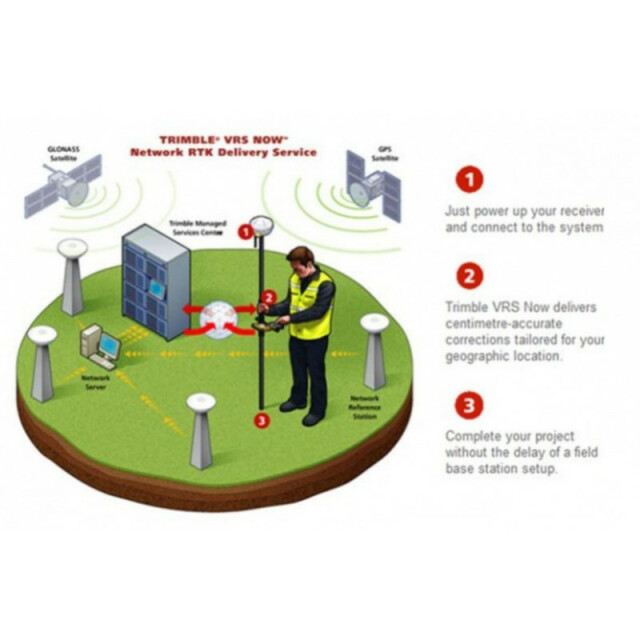
VRS Now™ provides instant access to real-time kinematic (RTK) corrections utilizing a network of permanent (fixed) continuously operating reference stations.
Do you have questions about this product?
- Questions about price, availability, and/or retailers
- Questions about technical specifications and usage
- Questions about suitability for your project or application
Specifications
-
Options
-
INS Integration
N
Offline operability
N
Other
Multi-constellation support: GPS, GLONASS, Galileo, BeiDou and QZSS enabled
-
General
-
Area of Application
Land
Type
Real Time Correction Service
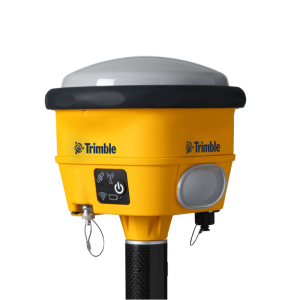
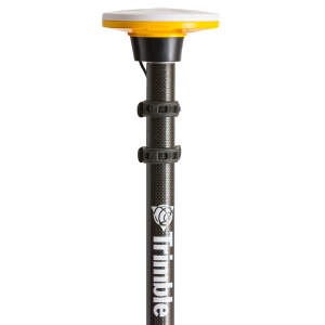
Compatible Receivers
Dependent on receiver capabilities and user’s geographic location. Agriculture: For a list of compatible Agriculture displays, refer to CenterPoint VRS. Survey and Geospatial, Construction and Site Positioning, Land Administration, Mapping and GIS, Mining, Oil, Gas and Chemical: Any receiver that supports CMRx, CMR+, RTCM v2.3 or RTCM v3.1, RTCM v3.2 (Europe networks) via NTRIP. Other: Consult your local reseller or contact the Correction Services Customer Care Team.
Area of application
Processing type
-
Requirements
-
Operating System
-
Corrections base
-
RTK Corrections Via NTRIP Network
Y
DGNSS
N
SBAS
N
Signal
Cellular
-
Technical specifications
-
Coverage
VRS Now service is currently available in the United States, Europe and Australia. European coverage includes; Belgium, Czech Republic, Estonia, Germany, Great Britain, Ireland, Luxembourg, Netherlands, Sweden, France (Geospatial only) and Spain.
Horizontal accurcacy (RMSE) {cm}
2
-
Miscellaneous
-
Subscription
Regional
Subscription plans
Variety of subscription plans available
Distinguishable features
No base station required: No need to worry about losing radio signal reception since a base station is not needed for Trimble VRS Now based correction services. Instant Initialization: Start working immediately under optimal conditions.
Typical applications
Ideal for a variety of industries needing high precision including survey and construction, mapping and GIS, cadastral, utilities, transportation and areas having good cellular coverage.
Documents
Brochure
migrationxaykfz.pdf
24.5 MB


