
SuperGIS Server 10
Building a GIS Website without Coding It’s not a dream but a reality. The brand-new Web Mapper tool helps GIS beginners design their mapping websites, select needed widgets, and adjust layouts without writing codes. Experienced users can build up multiple sites even more rapidly.
Supergeo Technologies Inc.
Taipei, TW
Description
Reliable Functions that Already Exist

A System Benefits the Whole Organization
SuperGIS Server is designed for enterprises to share, manage, and integrate various GIS services. Large amounts of spatial data, images, as well as geo-processes, can be shared via the Internet, improving the quality of decision-making and overall efficiency of an organization.
Bring GIS to Everywhere
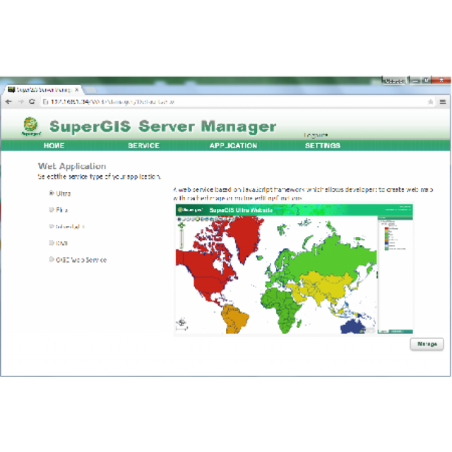
SuperGIS Server can distribute GIS services to multiple client apps, including SuperGIS Desktop, SuperPad, SuperSurv, and web applications. You can access the GIS services everywhere and boost the productivity in the field.

Share and Integrate with Ease
SuperGIS Server grants you not only the ability to share but also the tools to integrate GIS services seamlessly from different providers. Whether these services are published as OGC standards like WMS, WMTS, WFS, WCS, and KML, or as text files like CSV and GeoJSON, SuperGIS Server JavaScript API provides simple ways to integrate them into your web applications.

More than a Just Web Map
Depending on the needs, you can optionally add more extensions to SuperGIS Server to analyze spatial patterns more precisely, including Spatial Analyst, Topology Analyst, or the distinct Biodiversity Analyst.

Specifications
-
Data management
-
Security options for access
Y
Search on file content
Y
Version management
Y
Spatial reference system
-
Geometry types
-
Lines
Points
Surfaces
Raster
Reference
-
Other
-
License or freeware
License
Training
Y
Main users
Governments, Organizations.
Main applications
Business, decision making, education...
Extensions
Spatial Analysis, Network Analysis, Spatial Statistical Analysis, 3D Analysis, Biological Analysis, Topology Analysis
Related products
SuperGIS Desktop, SuperSurv, SuperPad, SuperGIS Engine.
Distinguishable features
Data Security, Various Client Applications, Flexible Deployment, On the fly Management, Rich Online Map Resources
-
2D Editing
-
Select
Graphic transformations
Coordinate transformations
support for transformations between most of the coordinate systems.
Remove
-
2D Construction
-
Positioning by coördinates
Y
Positioning by snapping
Y
Positioning in relation to other element
-
Storage
-
Type of data storage
File, Database, Private cloud
Native storage format
*.sgd
Input formats
Dwg, Dxf, Dgn, GML, SKP, KML, GeoTiff, ECW, SID, Jpg, Others
Compression
Y
Export formats
-
Visualisation
-
Types
Thematic mapping
Change view
-
Interoperability
-
Web standards
WMS, WMTS, WFS, WCS
Spatial database management systems
Oracle
Messaging protocols
SOAP, REST
Publish standards
KML
Extensions
.NET
Available API’s
JavaScript, Flex, Silverlight
Metadata
Creation, Management
-
General
-
Year of introduction
2015
Year of last update
2015
Supported hardware
PC
Supported operation system
Windows
Main GIS category
Internet GIS
-
Data analysis
-
Merge
Clip
Y
Buffer
Overlay operations


