
Description
Specifications
-
Data management
-
Security options for access
Y
Search on file content
Y
Version management
N
Spatial reference system
From data source, Selectable
-
Geometry types
-
Raster
Reference
Lines
Points
Surfaces
-
Other
-
License or freeware
License
Training
Y
Main users
Natural Resourcess, Military, Municipal, State and Local gov, Oil and Gas, exploration etc.
Main applications
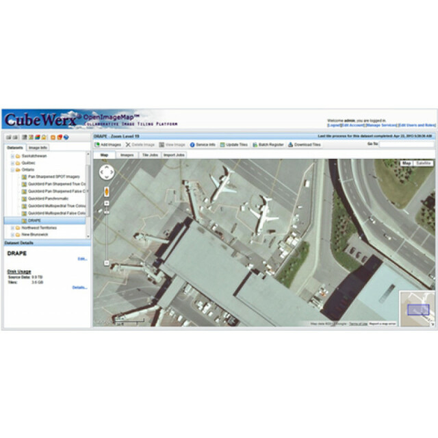
OpenImageMap can deploy terabytes of imagery in hours instead of days or weeks. Incremental updates allow you to edit existing data in seconds and deliver imagery with a level of performance comparable to Google Maps or Bing Maps while maintaining full control over your data. It automatically publishes many service endpoints, corresponding to a unique URL for each supported interface, including Open GeoSpatial Consortium (OGC) WMTS, WMS, WCS, Google Maps API, Google Earth/KML and OSGeo TMS. This platform is called OpenImageMap.
Extensions
N/A
Related products
N/A
Distinguishable features
N/A
-
2D Editing
-
Remove
Coordinate transformations
Any to Any
Mosaicing
Full mosaicing of source imagery
Generalization
Tiles generalized into pyramids for rapid access
Select
Graphic transformations
-
2D Construction
-
Positioning by coördinates
Y
Positioning in relation to other element
-
Storage
-
Type of data storage
File, Database, Internet, Public cloud, Private cloud
Native storage format
N/A
Input formats
Dwg, Dgn, GeoTiff, ECW, SID, Jpg, Others
Export formats
Dgn, KML, GeoTiff, ECW, Jpg
GML version
N/A
Compression
Y
-
Visualisation
-
Change view
Temporal
Yes
Types
Thematic mapping
-
Interoperability
-
Web standards
WMS, WMTS, WCS
Spatial database management systems
None
Messaging protocols
XML, REST
Publish standards
KML
Extensions
none
Available API’s
Google Maps, Bing Maps, WMS, WMTS
Metadata
Creation, Management
-
General
-
Year of introduction
2014
Year of last update
2015
Supported hardware
OpenImageMap will run on any commodity computer with at least 8 Gb by RAM and 1 dual core processor. Additional RAM and CPUs will be fully utilized to improve performance. It can also be installed in Amazon\\\\\\\'s EC2 Cloud or at a cloud provider of the customer\\\\\\\'s choice
Supported operation system
Linux, Unix
Main GIS category
Enterprise GIS, Internet GIS
-
Data analysis
-
Merge
Map layers
Clip
Y
Buffer
Overlay operations


