


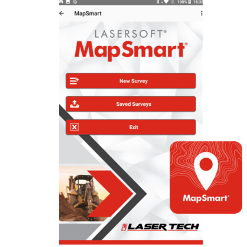


LaserSoft® MapSmart®
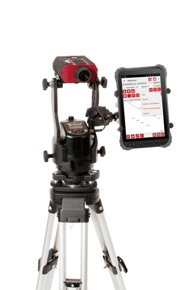
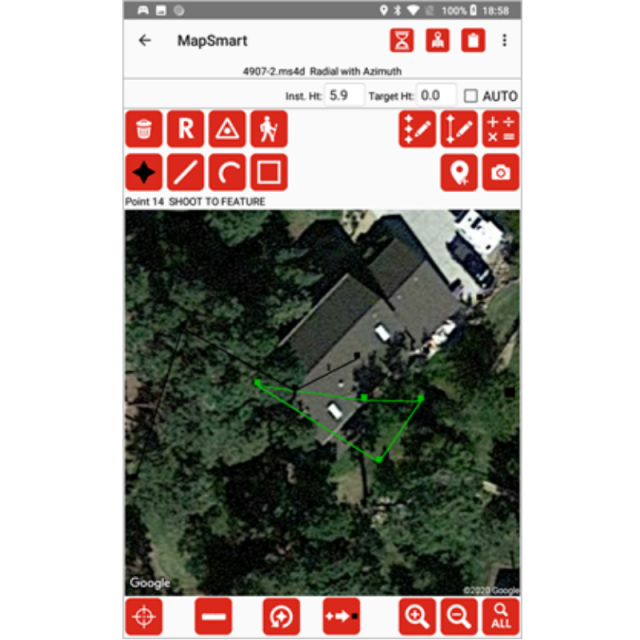
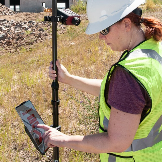
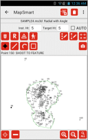
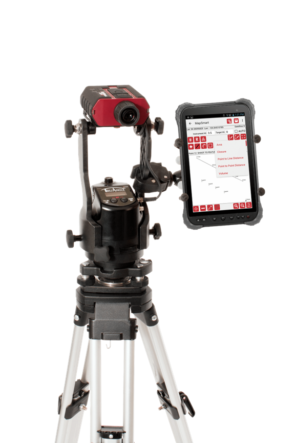
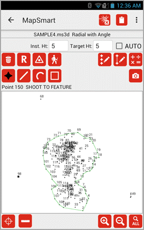
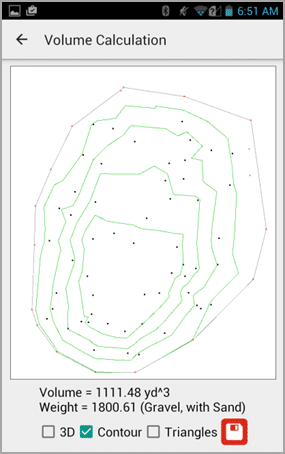
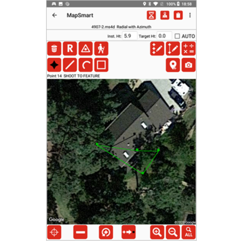
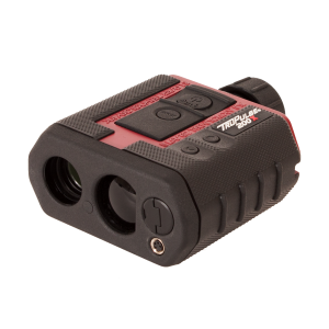
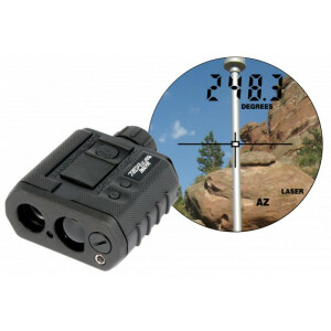
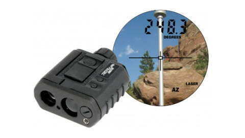
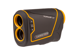
MapSmart field data collection software is designed for anyone who needs to quickly and accurately map, measure or position anything. Easily integrate with LTI lasers and mapping accessories to turn a laser into a complete total station solution.

Laser Tech
Centennial, US
Description
MapSmart field data collection software is designed for anyone who needs to quickly and accurately map, measure, or position anything. Easily integrate with LTI lasers and mapping accessories to turn a laser into a complete total station solution.
Try the MapSmart app today with a full-featured 30-day free trial period. Licensing is a one-time purchase with no recurring fees.
Do you have questions about this product?
- Questions about price, availability, and/or retailers
- Questions about technical specifications and usage
- Questions about suitability for your project or application
Specifications
-
Data management
-
Spatial reference system
From data source, Selectable, Manual georeferencing
-
Geometry types
-
Lines
Line segment, Arc, B-spline, Others
Points
Point, Symbol, Text, Others
Surfaces
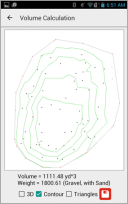
Polygon, Circle, Others
Raster
Reference
-
Other
-
License or freeware
License
-
2D Editing
-
Select
Others
Remove
By select
Graphic transformations
Others
-
2D Construction
-
Positioning in relation to other element
Others
Positioning by coördinates
Y
-
Storage
-
Type of data storage
File
Input formats
Others
Export formats
Others, KML, Dxf
Compression
N
-
Visualisation
-
Change view
Zoomfactor, Target point
-
Interoperability
-
Web standards
None
Metadata
Others
Publish standards
KML
-
General
-
Year of introduction
2008
Supported operation system
Other
Main GIS category
Mobile GIS
Year of last update
2023
-
Data analysis
-
Overlay operations
Other
Documents
Brochure
MapSmart_1317_2023.pdf
1.99 MB
Other documents
-
MapSmart_Android_QRG.pdf1.16 MB
-
LTI-MapSmart-iOS.pdf10.48 MB
-
Mapsmart_on_Android_Users_Guide.pdf3.55 MB


