
Description
Specifications
-
Data management
-
Security options for access
N
Spatial reference system
From data source, Selectable, Manual georeferencing
-
Geometry types
-
Lines
Line segment, Polyline, Multiline
Points
Point, Multipoint, Symbol, Text
Surfaces
Polygon, Circle, Multipolygon
Raster
Reference
-
Other
-
License or freeware
License
Training
Y
Main users
Central Government, Local Government, Small, Medium and Large businesses, special discounts for educational and charitable users.
Extensions
MapInfo Raster for 3D and raster modelling. MapBasic for scripting, adding extra tools, custom interfaces, etc. RouteFinder for network analysis.
Distinguishable features
A very cost effective solution that does not require either lengthy training or additional modules. If you want to e.g. map client locations, create sales territories, and do thematic maps of your sales and marketing performance then all the tools necessary are included. You do not need anything extra to be able to access Excel, MS Access, etc data.
-
2D Editing
-
Select
Select by administrative attributes, Within buffer, Spatial selection, Multiple select
Graphic transformations
Scale, Copy, Move, Rotate, Mirror, Stretch, Drag and drop
Coordinate transformations
Full reprojection system. Custom co-ordinate systems may be added.
Mosaicing
Vector data sets may be combined. Image tiles can be treated as a seamless table without affecting the original tiles.
Generalization
Douglas-Peucker generalisation may be applied to lines and polygons. Node snapping can be enabled.
Remove
-
2D Construction
-
Positioning by coördinates
Y
Positioning in relation to other element
Parallel, Extend
Positioning by snapping
Y
-
Storage
-
Type of data storage
File, Database
Native storage format
Tab
Input formats
Dwg, Dxf, Dgn, Shape, GML, KML, GeoTiff, ECW, Jpg
Export formats
Dwg, Dxf, Dgn, Shape, KML, GeoTiff, Jpg
-
Visualisation
-
Types
Color, Pattern, Hatch, Gradient color
Change view
Temporal
No
Thematic mapping
Choropleth, Dot distribution map, Proportional symbol map
-
Interoperability
-
Web standards
WMS, WFS
Spatial database management systems
Oracle, PostGIS
Messaging protocols
Extensions
Available API’s
MapBasic
Metadata
Creation
-
General
-
Year of introduction
1989
Year of last update
2016
Supported hardware
Should work on any reasonable PC. As of MapInfo 12.5 there is also a new 64 bit version in addition to the traditional 32 bit. Licensed users may run both vesions.
Supported operation system
Windows
Main GIS category
Enterprise GIS, Desktop GIS
-
Data analysis
-
Merge
Map layers
Clip
Y
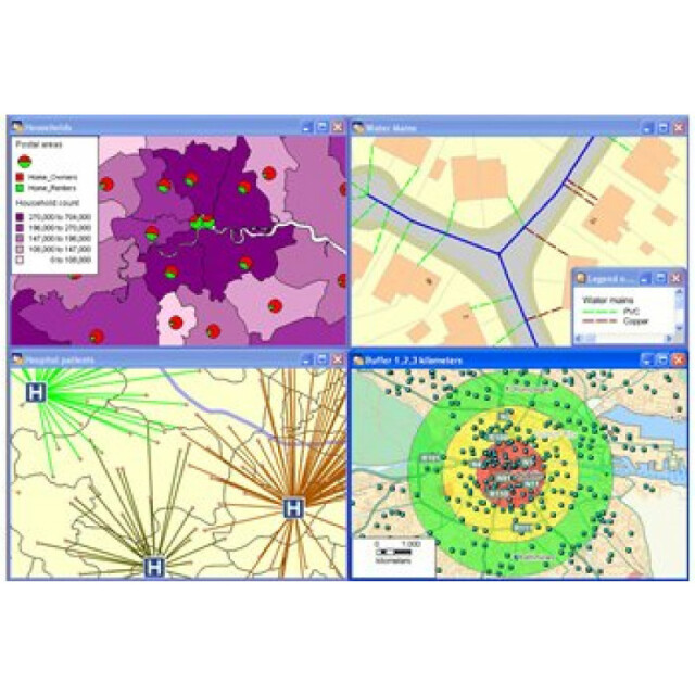
Buffer
Point buffer, Line buffer, Polygon buffer, Multiple buffers, Dissolve buffers
Overlay operations
Intersection, Spatial join


