
Description
Specifications
-
Data management
-
Spatial reference system
Selectable
-
Geometry types
-
Lines
Polyline
Points
Point
Surfaces
Polygon
Raster
-
Other
-
License or freeware
License
Training
Y
Related products
ArpentGIS Android, ArpentGIS Mobile and ArpentGIS for Windows
-
2D Editing
-
Select
Remove
Graphic transformations
-
2D Construction
-
Positioning by coördinates
Y
Positioning by snapping
Y
Positioning in relation to other element
-
Storage
-
Type of data storage
File
Native storage format
.agi
Input formats
Dxf, Shape, GeoTiff, ECW
Export formats
Dxf, Dgn, Shape, KML, Jpg
-
Visualisation
-
Types
Change view
Thematic mapping
-
Interoperability
-
Web standards
Spatial database management systems
Messaging protocols
Extensions
Metadata
-
General
-
Year of introduction
2004
Year of last update
2016
Supported hardware
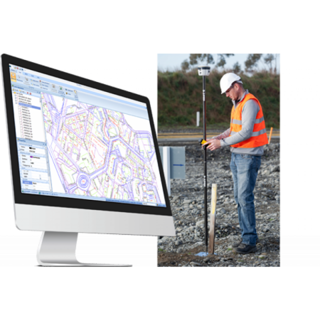
Design for processing data coming from ArpentGIS sotware, running on every Android or Windows Mobile datalogger, associated with any internal or external GNSS receiver.
Supported operation system
Windows
Main GIS category
Desktop GIS, CAD GIS
-
Data analysis
-
Merge
Buffer
Overlay operations


