ArcGIS Pro
The world's leading GIS software
ArcGIS Pro, the powerful single desktop GIS application, is a feature-packed software developed with enhancements and ideas from the ArcGIS Pro user community. ArcGIS Pro supports data visualization; advanced analysis; and authoritative data maintenance in 2D, 3D, and 4D. It supports data sharing across a suite of ArcGIS products such as ArcGIS Online and ArcGIS Enterprise, and enables users to work across the ArcGIS system through Web GIS.
Esri Inc.
United States
Description
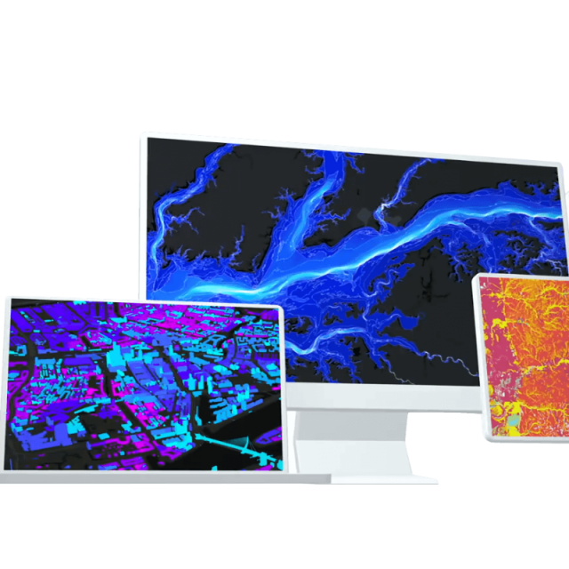
Transform data into maps and actionable information
Combine multiple data sources to make maps that are as smart as they are beautiful. Use scientific analytical tools on 2D, 3D, and 4D data to identify patterns, make predictions, and answer questions. Quickly share projects and information within your organization, online, and through mobile apps.
Exploration and Visualization
Using 3D exploratory analysis, investigate your data by interactively creating graphics and editing analysis parameters on the fly. Interactive tools help you to create analytical objects by clicking on the scene or using input source layers. Manipulate analysis parameters and receive real-time visual feedback.
Integrate data from multiple sources
Combine data from various sources and formats. ArcGIS Pro supports industry and community standards to ensure the inclusion of any dataset you have.
Visualize your data
Display data in 2D and 3D simultaneously. Manage multiple maps and layouts in a single project-based workflow.
Edit and analyze your data
Simplify data editing and analysis with context-sensitive tools. Perform interactive 2D and 3D analysis. Automate work with ModelBuilder or Python.
Share your work with the world
Publish maps and analysis results as web services or high-quality prints. Share maps and data on ArcGIS Online, ArcGIS Enterprise, or as a package.
Specifications
-
Data management
-
Spatial reference system
-
Geometry types
-
Lines
Points
Surfaces
Raster
-
Other
-
License or freeware
-
2D Editing
-
Select
Remove
Graphic transformations
-
2D Construction
-
Positioning in relation to other element
-
Storage
-
Type of data storage
Input formats
Export formats
-
Visualisation
-
Types
Change view
Thematic mapping
-
Interoperability
-
Web standards
Spatial database management systems
Messaging protocols
Extensions
Metadata
-
General
-
Supported operation system
Main GIS category
-
Data analysis
-
Merge
Buffer
Overlay operations
Related products


