
Allvision Virtual Rail Inspection
Monitor rail assets more reliably than ever before
America’s freight rail industry is one of the most efficient and cost-effective transportation networks in the world, helping to fuel the U.S. economy. Railroads maintain and modernize the nation’s nearly 140,000-mile rail network to deliver for America. Railways also follow strict safety laws and Positive Train Control guidelines. This is no easy feat with railways funded by billions of dollars in annual private investment.
Description
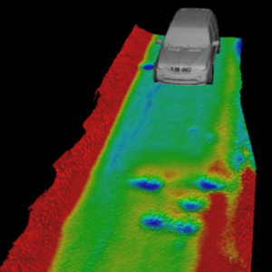
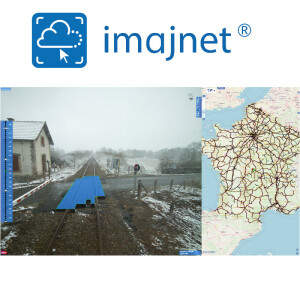
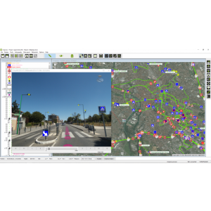
Allvision Virtual Rail Inspector includes the mapping of eight critical asset types, including derailers, switches, control signs, mileposts, signals, crossing guards, the rail itself, and crossings. Allvision is also able to track when an asset or rail item changes, like rail obstructions or debris, cars, people on the tracks, or if a sign is misplaced after maintenance activities. Several key rail systems currently use our solutions to create 3D digital maps of their assets for optimization and safety.
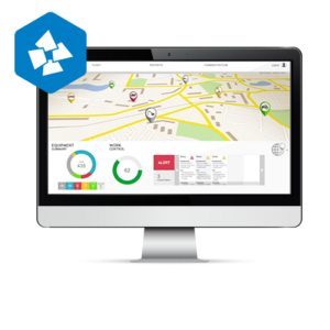
While other platforms rely on pre-existing data, Allvision has built the first true digital twin platform for rail by placing sensors mounted on rail-traveling trains or vehicles. We then interpret the real world as captured by the sensors and translate it into the digital world. The information is then combined with existing sources of data and can deliver true insights as to what is happening on the rail at any time, and in any place in the world.
Specifications
-
Data management
-
Spatial reference system
-
Geometry types
-
Lines
Points
Surfaces
Raster
-
Other
-
License or freeware
-
2D Editing
-
Select
Remove
Graphic transformations
-
2D Construction
-
Positioning in relation to other element
-
Storage
-
Type of data storage
Input formats
Export formats
-
Visualisation
-
Types
Change view
Thematic mapping
-
Interoperability
-
Web standards
Spatial database management systems
Messaging protocols
Extensions
Metadata
-
General
-
Supported operation system
Main GIS category
-
Data analysis
-
Merge
Buffer
Overlay operations
