
About GeoCue Group Inc.
GeoCue Group Inc. is a small business located in the Huntsville, Alabama area that offers software, hardware, training, support, and consulting services for LIDAR mapping, including production and exploitation, and drone mapping, including data collection, processing, and management.
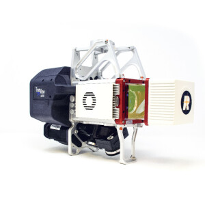
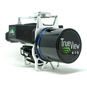
GeoCue is the largest supplier of kinematic LIDAR processing tools in North America and LP360 is one of the world’s most widely used tool for exploiting point cloud data. In 2014, GeoCue Group started a division focused on using small Unmanned Aerial Systems for high accuracy mapping. Leveraging our expertise in production, risk reduction, and point cloud processing tools, we are continuing to bring new services and products to market to provide surveyors and other geomatics professionals exciting tools for geospatial data extraction using low-cost drones including Loki, our plug-and-play PPK direct positioning system, and now our new True View® LIDAR/Imagery fusion sensors.
Featured products
Recent articles

Main office
-
520 6th Street
Madison, 35756
United States -
+1 256-461-8289
- https://geocue.com/


