Leica MissionPro Flight Planning Software
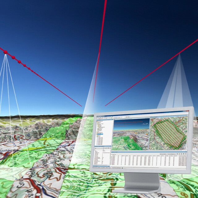
Mission Planning in Another Dimension
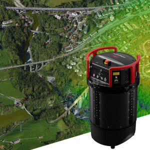
Leica MissionPro is best in airborne mission planning, takes it to the next dimension with the new 3D virtual global view. Enhanced features add new flexibility and planning capabilities to your organization. It is one tool to plan for all LiDAR, frame and line sensors. Fully integrated true 3D mission planning across the globe reduces training and increases productivity. MissionPro offers a complete solution for every sensor and workflow.

Leica Geosystems Airborne Solutions
Switzerland
Description
MissionPro Features:
- Automatic and accurate computation of blocks, corridors and single flight lines from any user specified parameter such as area coverage, stereo overlap, point density and any other sensor-related parameters
- New 3D virtual globe planning environment and traditional 2D map planning view
- Sophisticated computation algorithms using local DTM and global SRTM/ASTER DTM data automatically
- Background maps from Web Map Service (WMS)- compliant map service providers
- Integrated multi-sensor planning and LiDAR planning
- Powerful reporting of all planned and flown information for planning, QC, cost estimation and project management
- Fully integrated into existing Leica Geosystems workflows
Do you have questions about this product?
- Questions about price, availability, and/or retailers
- Questions about technical specifications and usage
- Questions about suitability for your project or application
Specifications
-
General
-
Application
Deliverable vector products [2D and 3D]
Options for delivery
Main design elements
Processing type
Source of Point Clouds
Desktop platform support
Documents
Brochure
missionpro-flightpro-workflow-bro-846611-1120-en-lr-0.pdf
4.23 MB
