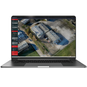
FlightPlanner
We’re Proud to Offer Flight Planner as a Free, Web-Based Service to All Phoenix Lidar Clients
Calculate your flight plan, review estimated LiDAR data quality, and upload a terrain-following KMZ directly to your UAV… before you fly. Explore the effects that different parameters have on your data before you fly. Estimate your data quality and reduce costs by experimenting with various flight paths, altitudes, and other variables using the Phoenix Flight Planner.

Phoenix LiDAR Systems
Austin, US
Description
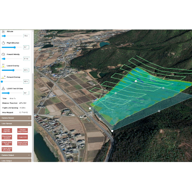
LiDAR data is heavily affected by sensor, altitude, terrain, and more. Using the Flight Planner tool, Phoenix customers can save time and money by planning missions before going into the field.
- Calculate your flight plan based on your area of interest (AOI).
- Estimate your LiDAR swath and point density based on terrain, speed, and more.
- Anticipate MTA zones that may affect data quality, especially in uneven terrain.
- Upload a terrain-following KMZ directly to your UAV.
Do you have questions about this product?
- Questions about price, availability, and/or retailers
- Questions about technical specifications and usage
- Questions about suitability for your project or application
Specifications
-
General
-
Application
Outdoor
Is compatible with Lidar sensors
Yes
Is compatible with Arial camera's
Yes
-
Flight evaluation
-
Check of completeness
Point density estimates, image coverage, etc.
-
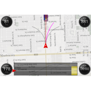
Flight execution
-
Flight guidance
Exportable flight plans for automated UAV flights or piloted navigation aid
-
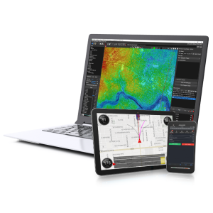
Flight Planning
-
Flight planning
Yes, Fixed AGL and Terrain Following
Configurable sensor parameters and settings
Pulse repetition rate, lines per second, RPM, trigger interval, etc.
Configurable data capturing parameters and settings
Field of view, forward and lateral overlap, AGL, etc.
Use and import of external data
KMZ regions of interest for planning
Project management and cost estimation
Time in flight, coverage estimates, etc.
