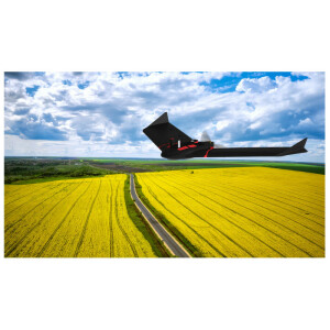
eBee Ag: An In-Depth Look at Applications & Data Outputs for Agriculture
Wed, Feb 24, 2021 at 4:00 PM (UTC)
1 hour
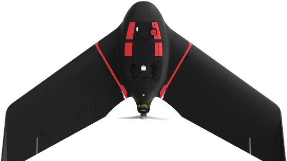
senseFly drone mapping solutions can help every agriculture professional map safer, smarter and with proven efficiency. With eBee Ag, we set out to capture all of those benefits into one affordable fixed-wing mapping drone for farmers, agronomists and other agriculture professionals. But how exactly can eBee Ag help you manage your fields better, tend to your crops' health more efficiently and ultimately save you money?
Join senseFly Agriculture Expert Olivia Soares, Technical Support Engineer Michael Blake and Ron Piskula as they take an in-depth look at our newest fixed-wing mapping drone for agriculture applications and answer questions from attendees.
They'll cover:
- eBee Ag hardware specs
- Platform integration & compatibility
- Flight performance
- Data reliability & outputs
- Availability
Related products


