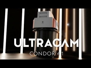


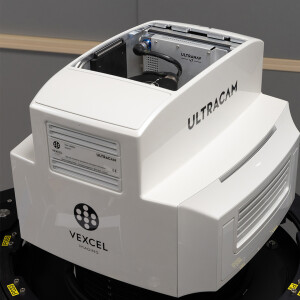
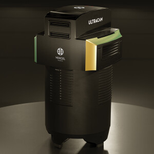
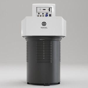
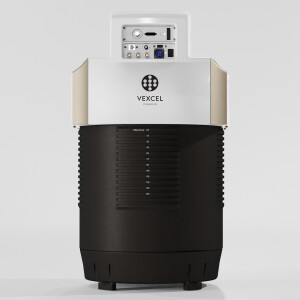
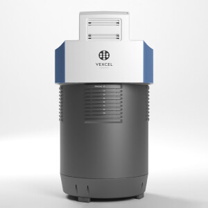
UltraCam Condor 4.1
Large format aerial camera for wide-area mapping
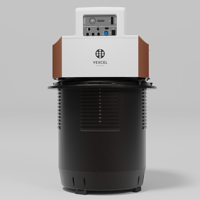
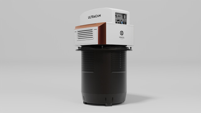
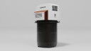
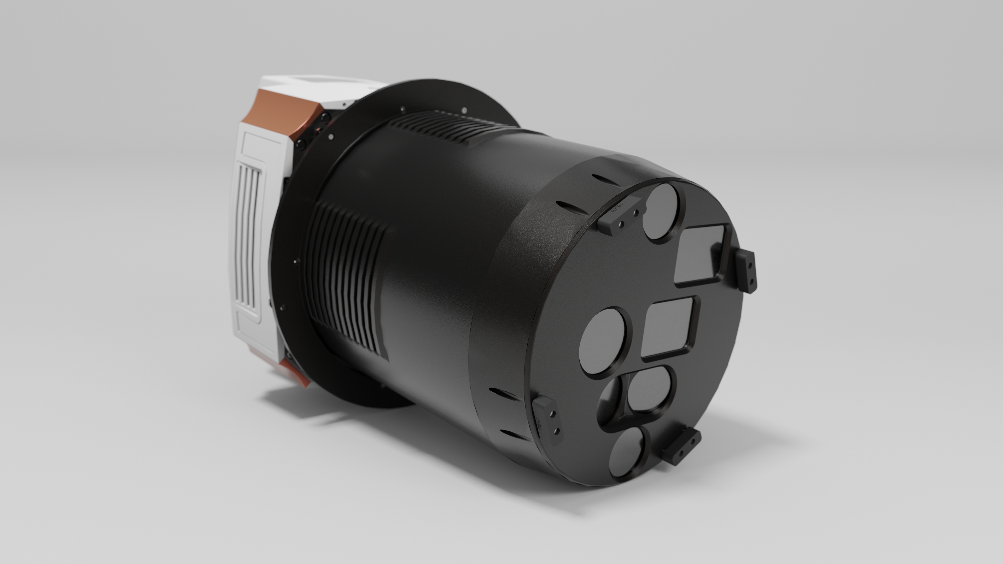
The UltraCam Condor 4.1 is the all-in-one aerial camera solution for utmost efficiency of high-altitude, wide-area data collection, featuring an expansive image footprint and impressive image quality.

Vexcel Imaging
Graz, AT
Description
Specifically designed and optimized for nationwide mapping, the UltraCam Condor 4.1 boasts an impressive image footprint of about 48,460 pixels across the flight strip. Combining a high-resolution RGB strip and lower resolution rectangular PAN and NIR images, the UltraCam Condor 4.1 delivers imagery of the utmost quality. The rectangular PAN channel enables automated dense matching, DSM, DTM and ortho image generation. This eliminates the need for additional flights by other sensors as all necessary data sets can be derived from a single flight with the UltraCam Condor.
The innovative camera system features numerous enhancements, beginning with a fully CMOS based architecture that enables a fast frame rate of 1 frame per 0.7 seconds. To manage the impressive amount of data collected by the latest CMOS sensors, new state-of-the art electronics were implemented for UltraCam 4th generation systems. Custom-designed lenses ensure imagery of exceptional sharpness, resolution, and contrast.
“We found that the Condor 4.1 offers the highest rate of production possible to cover an area for ortho imagery. The Condor’s fast frame rate enables us to operate the camera in a jet or a fast turboprop aircraft and shoot with 85% overlap. The Condor is a perfect tool to combat traffic and weather challenges and capture excellent data on time.”
(Yoeri Slagboom, UltraCam Condor customer)
The UltraCam Condor 4.1 is the gold standard for wide-area mapping, empowering you to map countries and continents in record time.
KEY SPECIFICATIONS
48,462 x 6,150 pixels Color image size (RGB Bayer pattern)
20,488 x 14,040 pixels PAN image size (RGB coverage)
9,456 x 6,240 pixels NIR image size (RGB coverage)
CMOS imaging sensors
Adaptive Motion Compensation (AMC)
1 frame per 0.7 seconds
Do you have questions about this product?
- Questions about price, availability, and/or retailers
- Questions about technical specifications and usage
- Questions about suitability for your project or application
Specifications
-
Application
-
Training facilities
Yes
Main applications
Ortho Photos, Point Clouds, DSM, DTM, EO, AT for Photogrammetry, 3D City Modeling, Mining, Oil & Gas, Agriculture, Insurance, Environmental Monitoring, Urban planning, Security & Defense, Disaster Management, Telecommunications
Distinguishable features
48,462 pixels across flight direction - single source data acquisition solution - very high dynamic range - high frame rate - integrated package that contains all components in the sensor head
-
Uncertainty
-
Geometric calibration
Yes
Radiometric calibration
Yes
-
Data storage
-
Type of storage
SSD
Storage capacity [GB]
32,000
Storage Replaceable
Y
-
Sensor Characteristics
-
Lenses: focal lengths [mm]
RGB: 123 mm, PAN: 52 mm, NIR: 24 mm
Type CMOS
Sony
Lenses: interchangeable
N
Number of lenses
7
Type CCD
CMOS
Pixel size [µm]
3.76
Dynamic range [bits]
14
Max. integration time [s]
0.7
Megapixels
298
-
Operation Characteristics
-
Platform
Fixed-wing
Helicopter
N
Fixed-wing
N
Forward motion compensation
Y
In flight pre-view
Y
Max flying height[m]
7000
Max. acquisition duration [h]
Unlimited
-
Software
-
On board image storage format(s)
RAW
Type of mission planning software
Topoflight Mission Planner
Type of postprocessing software
Vexcel UltraMap
-
General
-
Year of introduction
2021
-
Hardware
-
Camera unit Depth [m]
0.43
Power requirements
330 W
Type of GNSS/ INS positioning system
UltraNav and most current third party systems
Camera unit Weight [kg]
55
Camera unit Length [m]
0.8
Camera unit Width [m]
0.43
-
Application areas
-
Select an application area:
Land Surveying and Cadastre, Construction and Infrastructure, Cultural Heritage, Mining, Oil and Gas, Defense and Security
-
Product characteristics
-
Choose characteristics:
Panchromatic Imagery
Documents
Brochure
UC_Condor_4.1_en.pdf
Videos


