
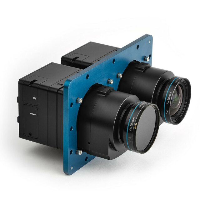
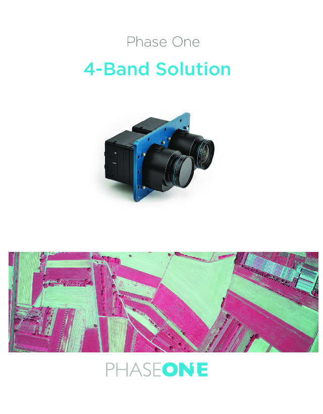
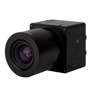
4-Band Multispectral Solution
Phase One's 4-Band multispectral solution incorporates an innovative batch-processing tool that automates and thus simplifies the four-band aerial image generation process.

Phase One A/S
Frederiksberg, DK
Description
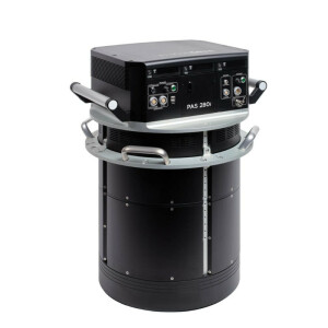
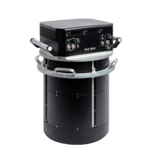
Adding a fourth band of near infrared (NIR) image data to three band colour (RGB) image data yields multispectral information that is very useful in vegetation studies -- in applications ranging from crop metrics for optimization, to vegetation health, environmental contamination and city observations for green site monitoring. The solution is composed of two synchronized Phase One metric aerial cameras mounted side by side on a specially designed base plate, a Phase One iX Controller and Phase One iX Capture software. Images are captured in NIR and RGB bands simultaneously, and processed automatically to generate distortion-free images and perform fine co-registration of pixels from NIR to the RGB images – including processing different image sizes – with seven different output options, including multispectral CIR images.
Do you have questions about this product?
- Questions about price, availability, and/or retailers
- Questions about technical specifications and usage
- Questions about suitability for your project or application
Specifications
-
Application
-
Main applications
PhotogrammetryAgricultureEnvironmental analysisGreen site monitoring
Distinguishable features
Low weight, Low power consumption, ease of integration, on board recording high pixel count, very high picture quality;
Training facilities
Yes
-
Uncertainty
-
Precision [pixels]
0.5
Geometric calibration
Y
Radiometric calibration
Y
-
Data storage
-
Type of storage
flash card
Storage capacity [GB]
256
Storage Replaceable
Y
-
Sensor Characteristics
-
Number of lenses
4
Lenses: focal lengths [mm]
40; 50; 70; 90
Lenses: interchangeable
Y
Type CCD
CMOS
Pixel size [µm]
4.6
Megapixels
100
Dynamic range [bits]
16
CCD RGB
Y
Charged Coupled Device (CCD) IR
Y
CCD along track format [mm x mm]
40
CCD along track format [pixel x pixel]
8708
CCD across track format [mm x mm]
53.4
CCD across track format [pixel x pixel]
11608
Max. shutter speed [s]
0.0004
Max. across-track FOV [deg]
51.8
-
Operation Characteristics
-
Helicopter
Y
Fixed-wing
Y
Min. flying height [m]
30
Typical flying height [m]
6000
Max. acquisition duration [h]
No limitation
Forward motion compensation
N
In flight pre-view
Y
Temperature controlled pod
N
Platform
-
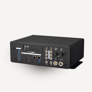
Software
-
On board image storage format(s)
IIQ
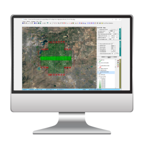
Type of mission planning software
NA
Type of postprocessing software
iX Capture, Capture One
-
General
-
Year of introduction
2016
-
Hardware
-
Camera unit Weight [kg]
1.44
Camera unit Length [m]
0.2
Camera unit Width [m]
0.1
Camera unit Depth [m]
0.1
Power requirements
10 W
-
Application areas
-
Select an application area:
-
Product characteristics
-
Choose characteristics:
Documents
Brochure
4band-brochure-letter-lr1-0.pdf
1.69 MB
Other documents
-
Monitoring Dead Trees and Presevering the Green in Yosemite Park5.61 MB
-
4-Band System Integration by GGS: One Solution: Multiple Applications260.21 KB
Videos

