Processing Point Clouds from Underwater Acoustic Scanners for Marine Engineering Surveys
Ports and harbors have always played a crucial role in human development and provided the cheapest ways to transport heavy loads over long distances. The maintenance of these structures from design to demolition in operable and safe conditions is a complex task in the field of marine engineering and is called Life Cycle Management.
Periodic technical inspections are the main part of Life Cycle Management. The classical way to gather underwater data for these inspections is using divers or ROVs. Meanwhile, modern acoustic underwater scanning provides a new cost‐effective alternative.

Underwater acoustic scanners provide results in the form of point clouds, which represent reflection points of sound waves with precise coordinates. These clouds have to be gathered with very high precision (current standard is average distance between points < 2.5cm), cleared from noise, analyzed and visualized for the customer. GT Corporation SE has refined this process during several years to present the best available data in the best possible way.
Processing Point Clouds from Underwater Acoustic Scanners for Marine Engineering Surveys
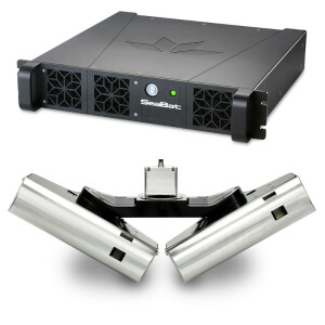
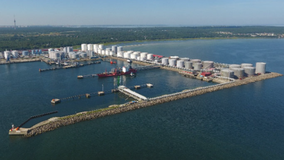
To gather data with 2 cm density we use a boatmounted Teledyne Seabat T‐50 set with high grade Applanix GPS and motion compensation system. Initial data gathering and processing is done onboat in several side sweeps using Teledyne PDS software suite. For better visualization for the customer, a Lidar (laser aerial scanner) is used to acquire shape and position of surrounding objects above water surface.
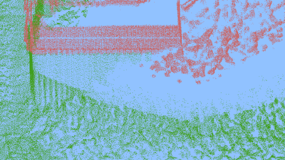
After preliminary processing in PDS the data is imported to Technodigit 3D Reshaper suite, where aerial Lidar and underwater point clouds are merged together, cleared from any noise and analyzed by construction engineers and scanning specialists.

The initial data for any complex structure always contains holes, shades and unreachable areas. Some underwater surfaces provide undistinguishable noise due to algae, heterogeneous material structure or reflecting surfaces. Additionally, point clouds do not provide the best means of visualization for a person without scanning experience.
3D-modelling rom Underwater Acoustic Scanners
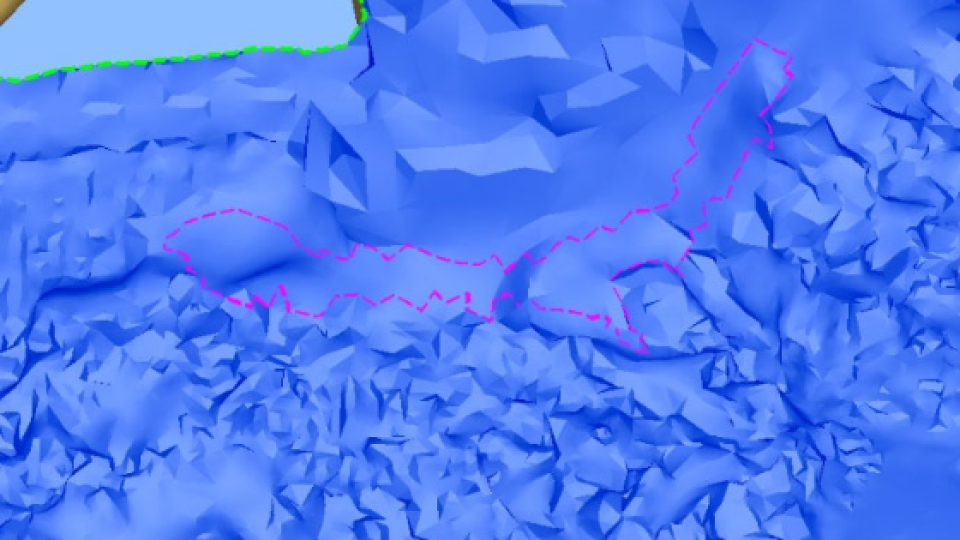
For better visualization to the customer as well as improvement of initial point cloud data we use 3D modelling (meshing) in 3D Reshaper. The meshing is done in several stages. First, a draft low quality model is created. It is verified and cleaned if necessary, with holes filled where possible.
Scattered and broken surfaces are fixed manually with known precision using 3D Reshaper built‐in tools and additional real‐world data (photos, building documentation, diver surveys records,
etc.).

After the draft model is clean, without holes and presents a manifold surface, it is refined by combining initial points with interpolated points, bringing the surface as close as possible to the surface seen in the point cloud. Additional cleaning, verification and hole filling is done on each iteration.

After all the operations on 3D model are complete, it can be viewed by itself, exported into BIM Software, colored according to depth or other parameters, or can be used for creation of engineering profiles.

Using a combination of ortho‐imaging function and clipping planes, specific engineering slices and profiles can be acquired, which can then be exported to AutoCAD for finalization.
About us
GT Corporation SE is an international company, which has been working in the field of marine construction in different European countries for more than 25 years. Our main activities are quality and safety maintenance in the Life Cycle Management (LCM) of ports, construction design and engineering research, diving and underwater engineering, inspection, survey, building, repair and reconstruction. Restoration of architectural monuments, lighthouses and other navigational aids takes a special place in the list of our services.


