Processing Point Clouds From Drone/UAV Cameras
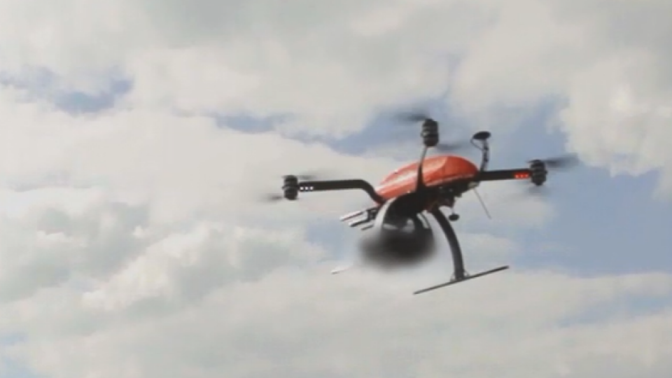
When faced with the task of laser scanning fields, trails, rivers or any large area, it quickly becomes apparent that an unmanned aerial vehicle is perfect for the job. Drones (UAV – just the aircraftT / UAS – aircraft plus the control unit are a cost-effective alternative to laser scanning on foot or using a helicopter, and their low altitude provides incredible detail.
UAV/Drone Point Cloud Processing Sample workflow
-
Fly with camera drone
-
Calculate point cloud based on photos (photogrammetry): AGISOFT PHOTOSCAN STANDARD or PIX4D
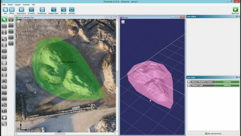
- Measure in point cloud, define volumes, create profiles, import in CAD system and more: POINTCAB SUITE (STANDARD)
When faced with the task of laser scanning fields, trails, rivers or any large area, it quickly becomes apparent that an Unmanned Aerial Vehicle (UAV) is perfect for the job. Drones (UAV - just the aircraft/ UAS - Aircraft plus the control unit)) are a cost-effective alternative to laser scanning on foot or using a helicopter, and their low altitude provides incredible detail. In just one day up to 150 acres can be mapped. Thanks to their centimeter-level accuracy there are already many applications for drone mapping; the first legal regulations on the use of unmanned flying objects are allowing the technology to be disseminated for civilian applications.


In many cases the flight path can be planned out in Google Maps in advance, so that the drone performs automatic obstacle detections in real-time. For those interested in more details and the possibilities of scanning by drone, please refer to Laser Scanning Europe. Here you can get independent advice and access to the technology. In this paper we present two technically different detection methods and refer to the following evaluation options with PointCab.

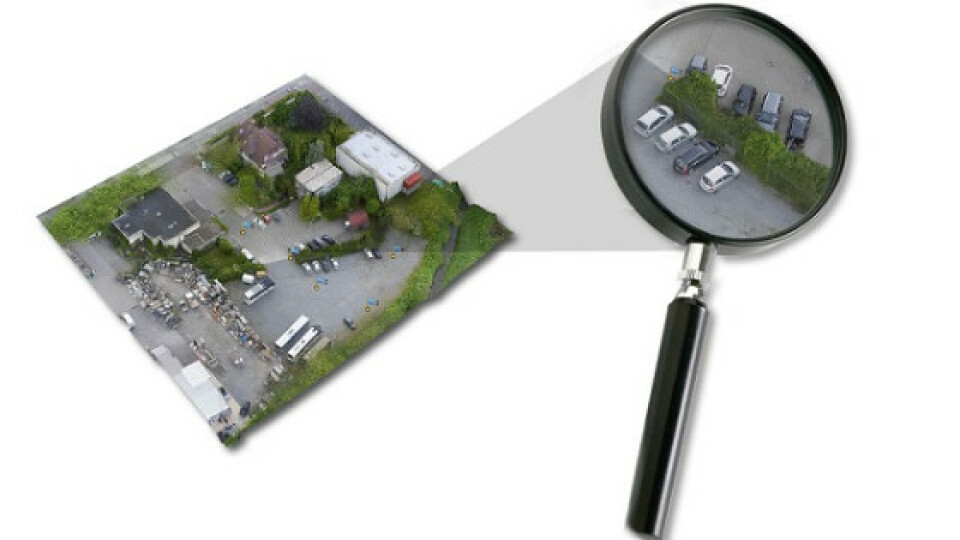
Point cloud from a drone (UAV) using a digital camera UAV (drone) point cloud processing with a digital aerial camera
In this first example a drone with a digital camera is utilized. The camera records surfaces and objects using a series of photos taken in a fly-over. By matching different photo perspectives of a single view or object, a point cloud of the object can be generated by surface matching and triangulation. There are well known software solutions for generating point clouds in this way; AGISOFT or PIX4D, for example. The point clouds of both solutions can then be further processed directly in PointCab.

Point cloud processing from UAS lidar systems
In the second case, the drone is combined with a laser scanner. For instance, you can use laser scanners manufactured by the company SICK or VELODYNE LIDAR. It’s important to remember that the load capacity of the drone is crucial to choosing the right laser scanner. The results obtained here are in point cloud format, and can be immediately imported into PointCab.
Import * .Las, *.laz, *. E57, *. xyz directly into PointCab
Version 3.2 of PointCab supports point cloud analysis obtained both ways. The “un-referenced point cloud”, i.e. a non-geo-referenced point cloud (* .Las, *.laz, *.E57, *.xyz) can all be imported and used in PointCab ). The PointCab results can be used directly or further processed in your CAD Software.

Processings UAV/drones point clouds - the correct settings
Please note that you should adjust the settings of PointCab for the evaluation of drones point clouds to meet your needs. Choose the following: File -> Preferences (or press F6) and set the preferences to 5 cm resolution. Experience shows that this is a good compromise in terms of resolution and data volume.

Do you have questions about this case study?
Get in touch with PointCab, and they would be happy to answer any questions you have about pricing, suitability, availability, specs, etc.


