Power Line Corridor Mapping with UAV Lidar Solution
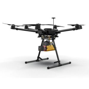
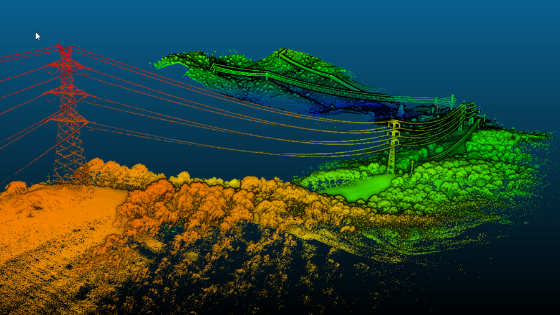
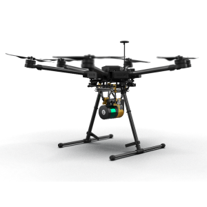
An airborne survey using YellowScan was carried out on thin 20 kV lines, inspecting and mapping the corridor including lines, poles and vegetation.
Objective of Power Line Corridor Mapping with UAV Lidar Solution:
Transmission lines need to be inspected according to regulation in several countries. A minimum clearance for vegetation is required to prevent flashover.
Results of Power Line Corridor Mapping with UAV Lidar Solution:
An airborne survey using YellowScan was carried out on thin 20 kV lines, inspecting and mapping the corridor including lines, poles and vegetation.
Power Line Corridor Mapping Use Case
Key benefit of a UAV + YellowScan LiDAR system
- Timely vegetation triming: Only technology to get true distance to vegetation in near real-time. Scan fast-growing vegetation sections as frequently as needed
- Optimized Maintenance Operations: Quick, light and easy to mobilize, the whole system (UAV+LiDAR) can be carried in car trunk or airplane luggage: ideal for quickly surveying limited sections of the network which has not/can’t been scanned with airborne LiDAR (leftovers, hard-to-access, fast-growing vegetation sections…)
- Security: YellowScan systems allow for quick and complete acquisition while eliminating manned airborne or on-the-ground logistics
Do you have questions about this case study?
Get in touch with YellowScan, and they would be happy to answer any questions you have about pricing, suitability, availability, specs, etc.


