
Pipeline Mapping in Central Argentina
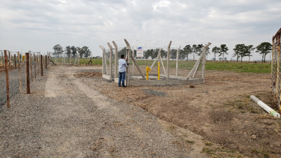
Trimble technology produces cost saving and high accuracy results using Spectra Geospatial SP60 GNSS in combination with Trimble CenterPoint RTX correction service. Argentina, province of Córdoba, 2011, the government decided to upgrade a large part of its natural gas distribution network. This upgrade would require the expansion of the current gas pipeline network by more than 2000 km. A topographic surveying company, Del Bianco Associates (Del Bianco), was tasked with providing preliminary topographical studies for the project engineering, including reviewing, updating and completing information on 1,580 km of pipeline alignments.
Argentina, province of Córdoba, 2011, the government decided to upgrade a large part of its natural gas distribution network. This upgrade would require the expansion of the current gas pipeline network by more than 2000 km. A topographic surveying company, Del Bianco Associates (Del Bianco), was tasked with providing preliminary topographical studies for the project engineering, including reviewing, updating and completing information on 1,580 km of pipeline alignments.
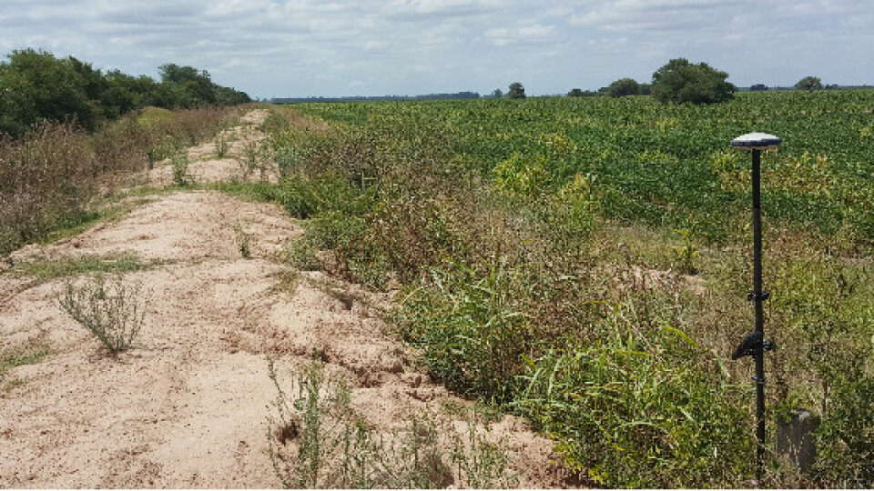
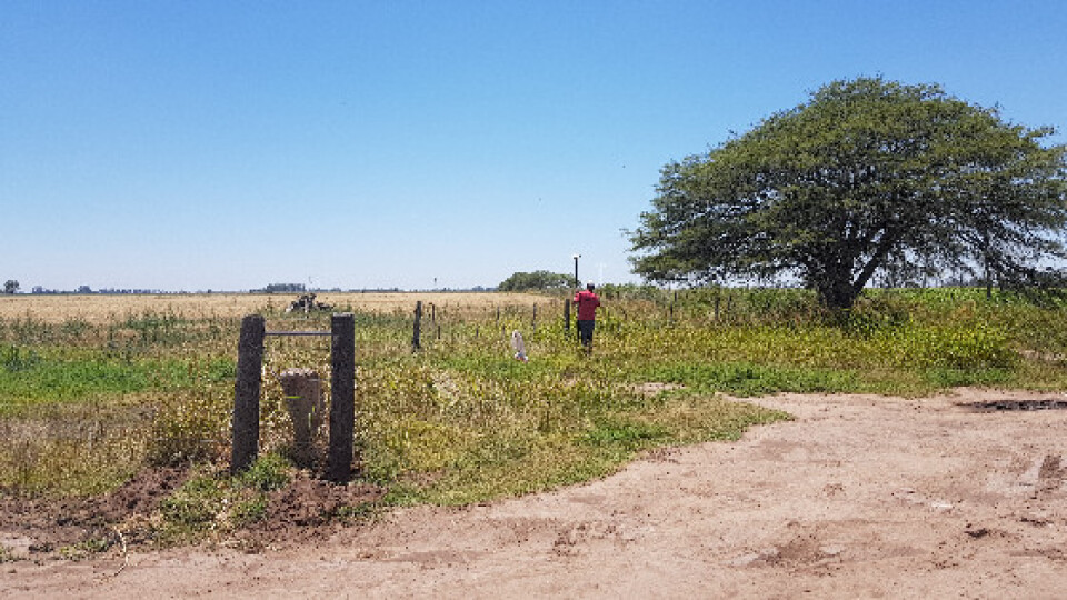
After a series of topographic studies, the 2011 project was cancelled due to a lack of funding from the state government. By then, Del Bianco had collected 160,000 feld points used to generate a georeferenced data base. These feld points enabled teams to proceed with preliminary development of project engineering. The work resumed in 2017, when Del Bianco carried out a series of surveys to complete and update the project data. Del Blanco used the Spectra Geospatial SP60 GNSS receiver and a Spectra Geospatial T41 Data Collector in combination with Trimble CenterPoint RTX correction service. They used Trimble Data Transfer Utility software for communication and to download the data.
The client required accuracy of 30 cm or better for x, y and z coordinates of the trunk lines. The project deliverables were topographic maps in georeferenced AutoCAD format. The feld work was done at an average of 580 meters above sea level, with a deviation of 250 meters above or below this value. The actual pipeline routes often passed through agricultural felds. Under these circumstances using CenterPoint RTX, Del Bianco was able to meet nominal accuracy values of 2 cm for horizontal measurements and 5 cm for elevation measurements. “The accuracies achieved using CenterPoint RTX are perfect for our topographic surveying work,” says Del Bianco Director Omar Serantes.
After using the POSGAR 2007 reference framework for verifying the accuracy of the pipeline routes, it became clear that CenterPoint RTX was more effective and cost-efcient than RTK, says Serantes. “Because we work anywhere in the country, we sometimes have to travel multiple days to reach the work site. Compared to RTK GNSS, the Trimble RTX system takes less space in our pickup truck, which leaves room for another surveying assistant. With RTK GNSS, we would need another team member since RTK requires installing a base receiver. We have to provide accommodations for the team member, which increases our per diem expense.
Using RTK also requires the construction of additional support systems, which adds time and money, because data collection comes to a stop if one operates outside the radio’s range. “This means you must return to the base station, transfer the equipment ahead to the next control point and establish a new base station,” Serantes explains. “RTX does not require additional support systems or supervision of the base stations so you can start work immediately after initialization. This enables us to reduce time in the feld by as much as 50 percent, which gives us a competitive edge in the market.” A further advantage to using CenterPoint RTX is that GNSS postprocessing is not necessary because the data is collected in real-time and is downloadable and ready to use, adds Serantes.
Today, Del Bianco uses the Spectra Geospatial SP60 GNSS receiver and Trimble CenterPoint RTX equipment for all its projects. ”We use RTX at 2100 m above sea level, where you can reach each property’s corner points without relying on the RTK radio signal for a fxed solution. In the mountains, there is always the risk of not receiving a fxed solution. When this happens, you are forced to suspend work. After moving the base station to a nearby point, you can generate new auxiliary points. Such alternatives in the feld always take more time. RTX offers a solution anywhere.”
Do you have questions about this case study?
Get in touch with Spectra Geospatial, and they would be happy to answer any questions you have about pricing, suitability, availability, specs, etc.


