Part 1. FlyThu Experiences of Using Routescene UAV LiDAR system
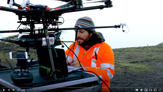
We interviewed Michael May and Ben Bishop, Directors of FlyThru, a drone survey solutions provider based in the UK. Flythru invested in a Routescene UAV LiDAR system 3 years ago. We were keen to find our their experiences and how it has enhanced their business.
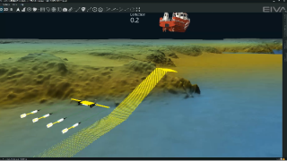
We caught up with the team whilst they were surveying a proposed cycle route between Connel and Dunbeg in the Scottish Highlands. It was a beautiful, if cold, day in March 2020 before the COVID-19 lockdown in the UK started.
This is the first in a series of videos, which will be released over the coming weeks.
“The LidarPod has been great in terms of its penetration of vegetation. We were surprised at the number of points per m2 we were achieving through dense vegetation. Our UAV LiDAR system is used 2-3 times a week now. It’s grown our business by 50%.” Michael May, Flythru, UK
“The Routescene UAV LiDAR system been phenomenal, it’s really opened a unique revenue stream for us. Allowing us to gather data that isn’t possible to capture in any other way. It sets us apart from the rest of the field.” Ben Bishop, FlyThru, UK

More product videos


