
New iRTK5 Applied in Lop Nur No-Man’s Land
To enhance biodiversity conservation, raise the efficiency of search and rescue, it is significant and necessary to provide accurate geolocation information. With this mission, a surveying team entered Lop Nur, a no-man’s land, with Hi-Target new iRTK5.
By Lynn Wu,
Product Manager of Hi-Target International
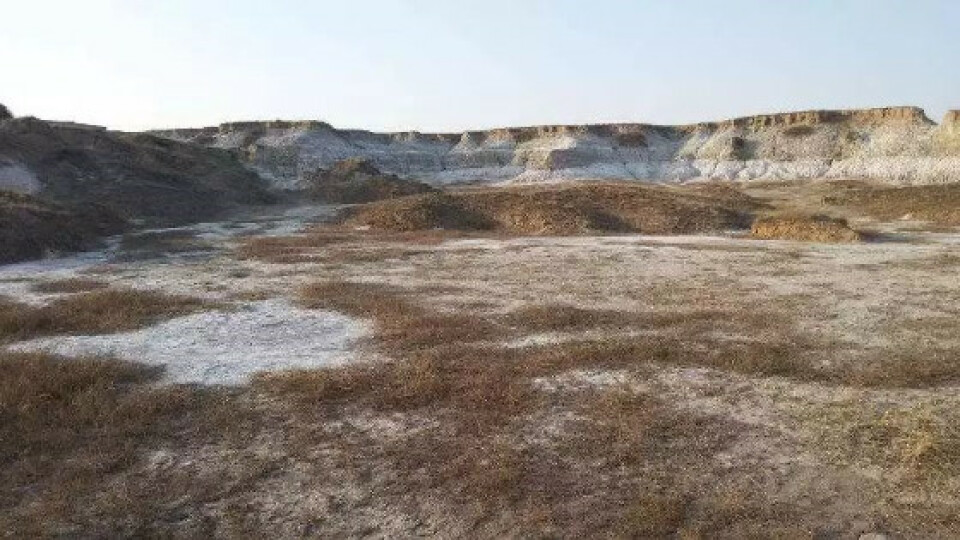
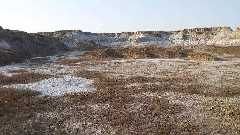
Lop Nur is a former salt lake in China, now largely dried-up, located between the Taklamakan and Kumtag deserts in the southeastern portion of Xinjiang Uygur Autonomous Region in the People's Republic of China. Now it is China’s only wild camel natural preserve.

Lop Nur has been used as a nuclear testing site, and since the discovery of potash at the site in the mid-1990s it is also the location of a large-scale mining operation.
A number of archaeological sites are found around or near the Lop Nur region, such as Loulan ancient Kingdom, Xiaohe Burial Site, Qäwrighul, Miran, etc. It attracted thousands of adventurers from the globe and some of them even lost their lives here, which made Lop Nur more mysterious.
Background of the project
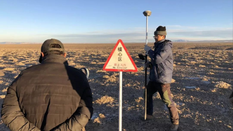
Lop Nur is mostly a no-man’s land. To enhance biodiversity conservation, raise the efficiency of search and rescue, it is significant and necessary to provide accurate geolocation information.
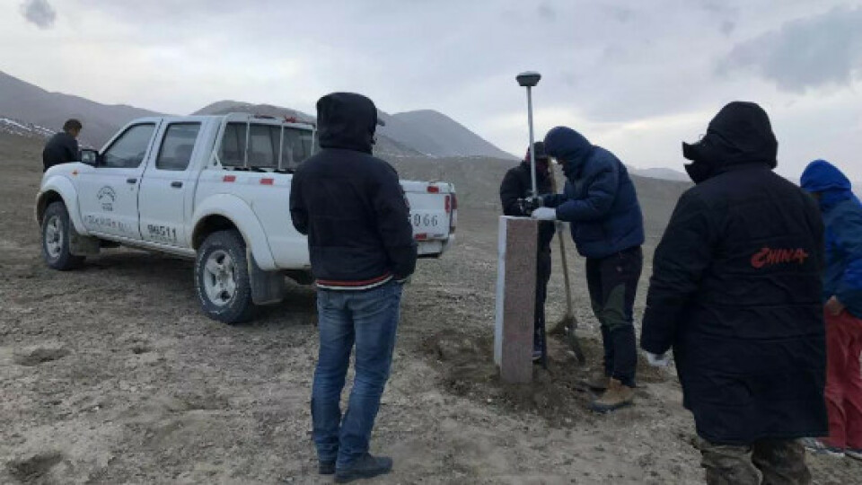
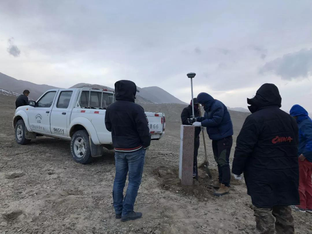
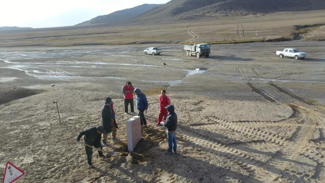
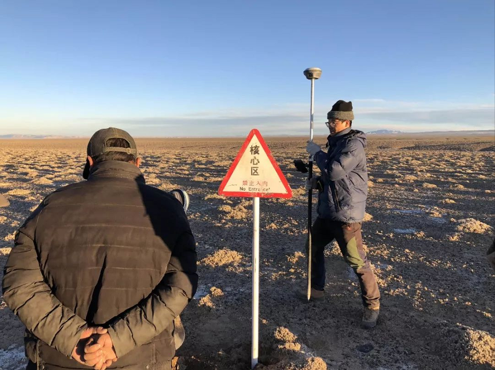
With this mission, a surveying team entered Lop Nur with Hi-Target new iRTK5.
Challenges of the project
1. No network signal in most areas.
2. Some old control points are missed.
3. The control points are far away from each other, often up to tens of kilometers.
4. Difficult supplies transport.
5. The abominable geographical environment.
Application of the project
A combination of the new iRTK5 with a built-in IMU, and Hi-Target global PPP service was applied in this project. There were serval advantages in such a no-man’s land:
1. No need to set up the base station.
2. Unlimited by data link transmission distance.
3. Unlimited by network signals, and able to achieve an efficient stand-alone operation.
4. Able to directly obtain points with CGCS2000 coordinates without coordinate conversion.
Outcome of the project
After three months of survey, the surveyors were laid 120 boundary points, 20 boundary pillars, 6 buffer functional zone piles, 6 core functional zone piles, and 23 warning signs to build up a surveying control network. In the case of a good acceptance of satellite signals by iRTK5, the control points were measured in the RTK-fixed state after 5 minutes, and the continuous acquisition time was 20 seconds.
With the development and renewal of technology and equipment, Hi-Target global PPP service will play a more profound role in complex geographic environment survey and provide more convenient services in the future.
Do you have questions about this case study?
Get in touch with Hi-Target, and they would be happy to answer any questions you have about pricing, suitability, availability, specs, etc.

Related products


