Hospital Mapping and 3D Modelling with Indoor Mobile Mapper
The healthcare sector is always in constant evolution. In order to stay at the forefront from the point of view of diagnosis, there is often the need to introduce more advanced machinery whose placement within the hospital space must be adequately planned. In many cases it is necessary to completely rethink the rooms, taking care not to hinder the hospital routine or to cause inconvenience to the patients.
Mapping and Surveying with Indoor Mobile Mapper
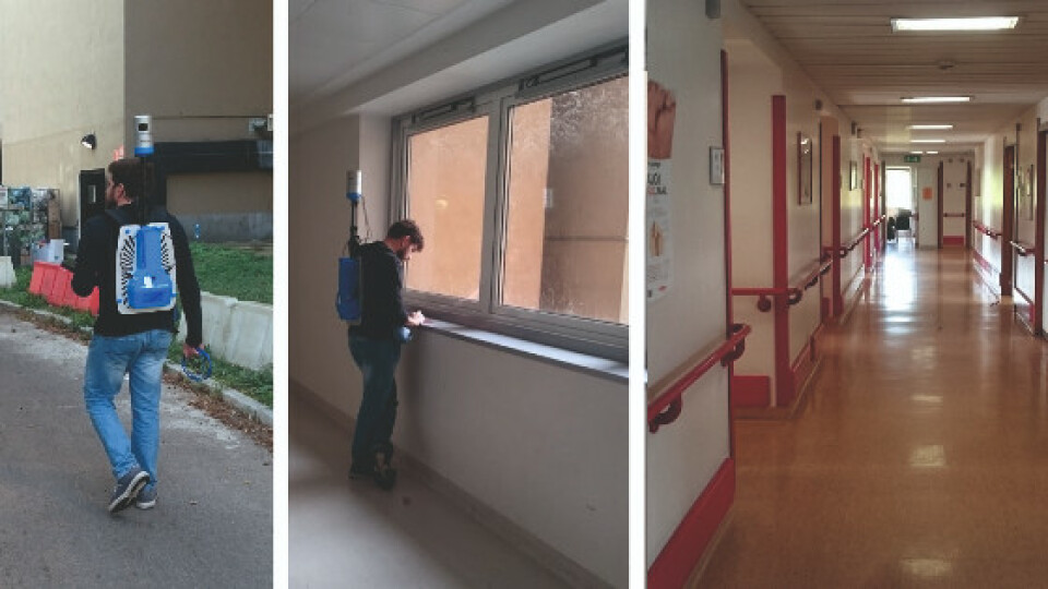
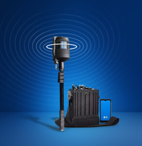
In this specific case, the client decided to proceed with a rapid survey carried out using the HERON instrument, thanks to which it was possible to detect 3 wings in just 20 minutes, simply by walking along corridors, rooms, and stairs. During data processing, it was possible to extract the point cloud 3D model and compare it with existing 2D maps. The plans of the detected environments were then updated: orthophotos of the 3D model were generated and subsequently imported and vectored in CAD.

Fig 1: HERON outdoor and indoor mapping
« The use of HERON AC-1 for the detection of some hospital internal environments has allowed obtaining a 3D model in a very short time, without interfering with the hospital's operational routine.»
Massimo Dierna, Gexcel - Civil Engineer
Needs and Goals
- To obtain the real state of the building to plan the implementation of new technical rooms.
- To acquire 2D and 3D data quickly and discreetly without disturbing the guests of the structure.
- Quick and frequent update of 2D and 3D maps, thanks to Heron’s automatic localisation capability. Surveys are easily managed by operators with minimal knowledge of surveying.

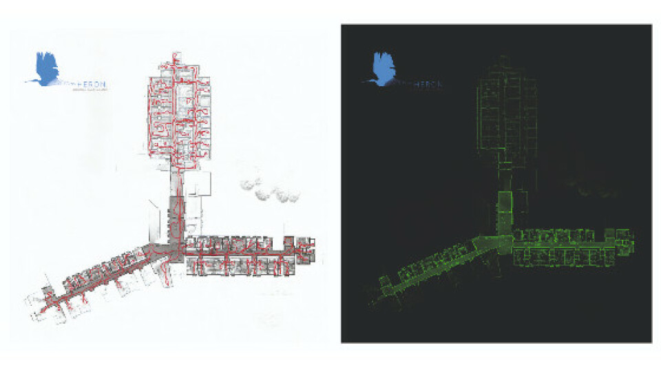
Fig.2_HERON survey with its trajectory. | Fig.3_Hospital x-ray orthophoto
HERON AC-1 MAIN BENEFITS
- Efficiency: time and economic saving.
- Integration: management of a very large dataset, with the possibility of automatically integrating data from terrestrial or handheld laser scanners.
- Quick and frequent update of 2D and 3D maps, thanks to Heron’s automatic localisation capability. Survey are easily managed by operators with minimal knowledge of surveying.

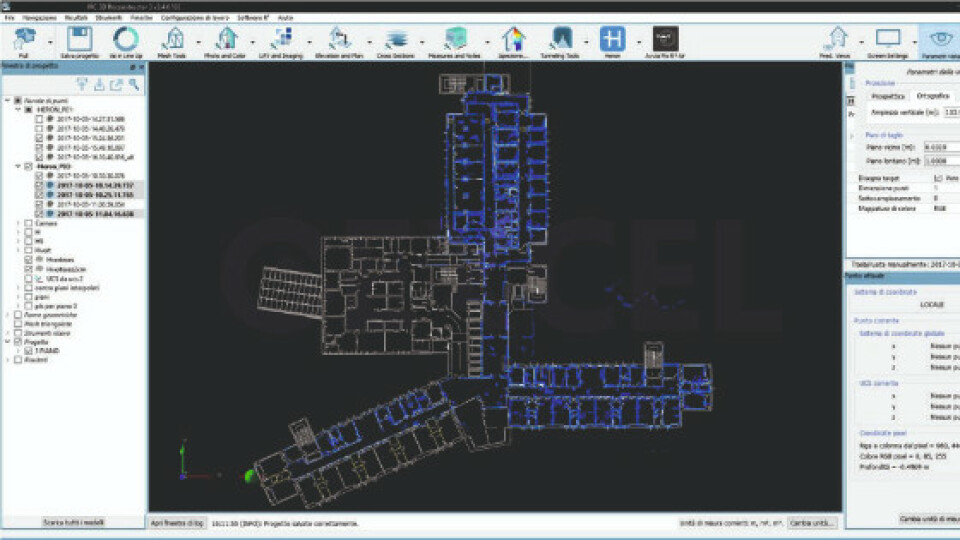
Fig. 4_ HERON survey section (in purple) compared with the existing CAD floor plan.
Results
- 3D point cloud model
- CAD maps in 1:200 scale
- Windows position into the CAD map
Technical details
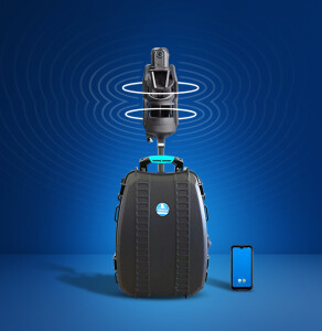
- Surveying System: Heron AC-1
- Surveying Area: 2.500 Sqm
- Surveying Time: 20 Minutes
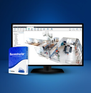
- Processing Software: Heron Desktop - JRC 3D Reconstructor
- Data Processing Time: Heron Data 1 Day - CAD Plans 3 Days
Do you have questions about this case study?
Get in touch with GEXCEL, and they would be happy to answer any questions you have about pricing, suitability, availability, specs, etc.


