GIS Software Road Management System in Poland’s Malopolska Province
Poland’s Małopolska Province uses a road infrastructure management IT solution provided by TatukGIS customer SHH. The solution includes dedicated GIS tools that enable analysis, sharing, and reporting of information concerning roads and incidents. For this implementation, the Małopolska Province Road Management Authority in Cracow was awarded the Gold Award in the “Innovation” category of the Transport Industry.
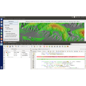
he TatukGIS Developer Kernel was used to develop two of the system's modules:
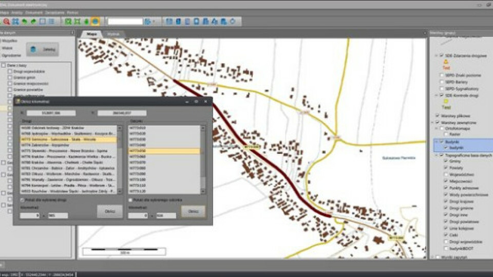
- the desktop application portion of the solution which is, essentially, a thick client to the Geoinformation Data Warehouse running on Oracle database, and
- the Design Files Repository that enables team members access to road project metadata georeferenced to map location. The application is used on desktop workstations and Window OS touch enabled PDA, tablet, and specialized mobile applications in the field.
The Geoinformation Data Warehouse aggregates data from all IT modules implemented as parts of the Małopolska Province Road Management system. The desktop application is configurable, such as with wizards for submitting database queries. The application provides access to the data and its visualization through internet client applications and geoportal with access to external WMS services.

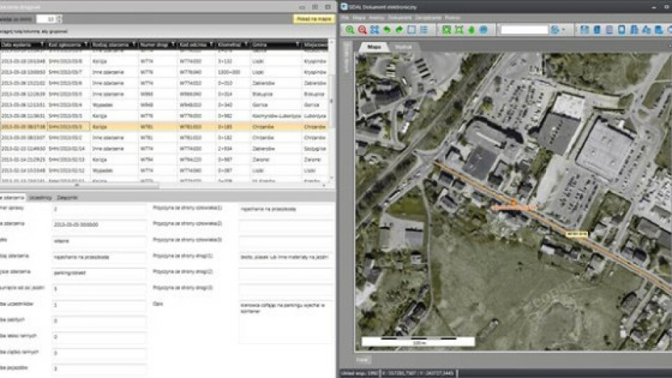
DK application accessing the Geoinformation Data Warehouse on Oracle.
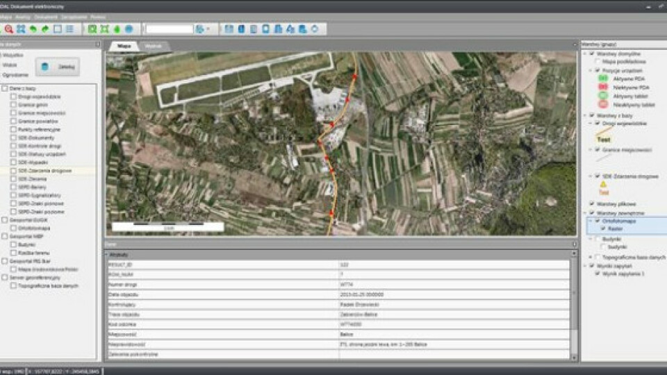
The Design Files Repository supports efficient teamwork by enabling project team members to access, search for, and report on collected project resources. Files are described with the following information: linked road and its reference segment, kilometer status associated to the particular road segment, database type (e.g., mapping data letter, spreadsheet, documentation, correspondence, photo, video, audio), comments, character, and geometric range associated with a deposited document (point, line, or shape).
Other important modules and functionalities of the SHH Road Management System include:
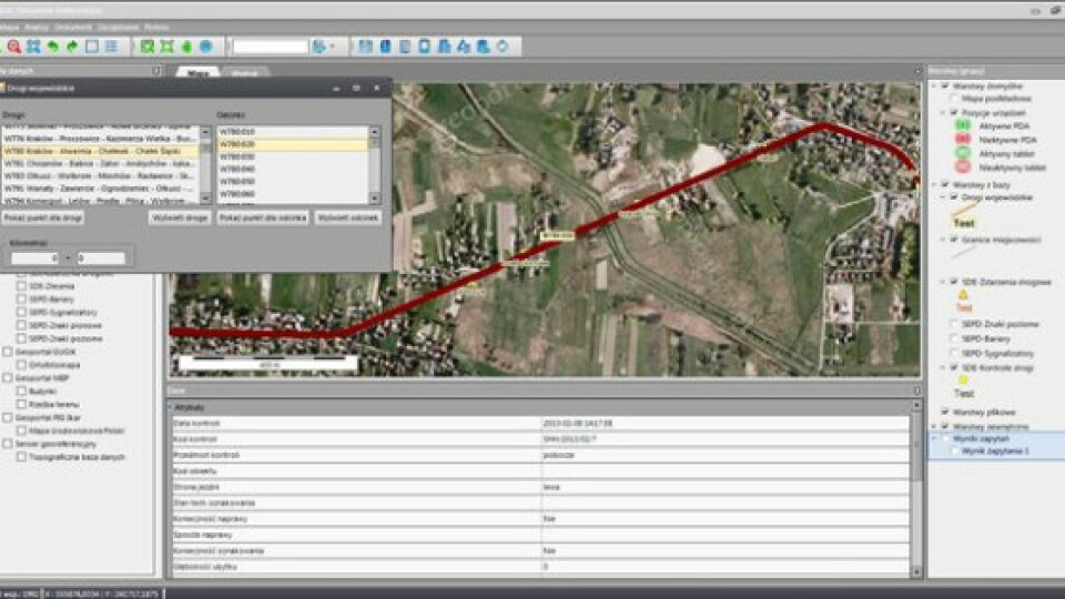
- Linear Reference System for editing and updating elements of the road system, making it possible to locate objects and features according to their distance along a linear road segment.
- Management for Roads and Bridge Facilities providing multifaceted collection of data about the road, its development and technical infrastructure.
- Cadastral Register for keeping records of roads, adjacent property parcels. This part of the solution is compatible with the Bentley graphic environment that was implemented earlier by the Małopolska Provincial Road Management Authority, and with the Poland National Cadastral System standards.
- Road Information Geoportal enabling publication and analysis of technical, business, and GIS information from warehouses or other data sources via a standard web browser.
- System for signage and traffic safety equipment to manage a huge inventory of vertical and horizontal signs and road safety equipment, including replacement scheduling of these assets.
- Mobile work system enabling use of PDA and other mobile devices by personnel in the field to record events and online access to technical documentation.
Key benefits of the Road Management System include:
- Road infrastructure management at the level of road maintenance task implementation.
- Monitoring data and documentation regarding implementation of investments.
- Support for activates relating to improvement of road safety.
- Multidimensional analysis of data concerning road infrastructure and traffic incidents.
- Disseminating information to other administrative units.
- Collection and centralization of information in the form of a data warehouse.
- Easy access to current information including geo-referenced data.
- Popularization of mobile technologies to streamline information management processes.
Besides its Road Management System, SHH develops infrastructure information management solutions for railway lines, mining and geological design, water and gas utilities, cadastral survey, urban planning, and industrial project design. SHH looks forward to upgrading its future development to the TatukGIS Developer Kernel v.11 for Delphi / Mobile edition, with its support for mobile GIS application development for the popular Apple iOS and Android operating systems.
Learn more about SHH solutions at www.shh.pl or the English language PDF.
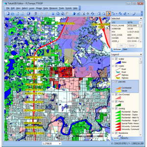
More images of the modules developed using the TatukGIS Developer Kernel (SDK):


Do you have questions about this case study?
Get in touch with TatukGIS, and they would be happy to answer any questions you have about pricing, suitability, availability, specs, etc.


