Biomass Calculation Using the Aeroscout Helicopter Equipped with a RIEGL Laser Scanner
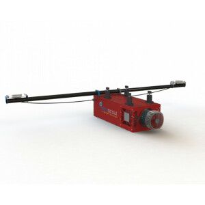
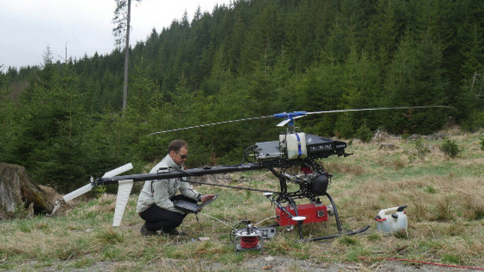
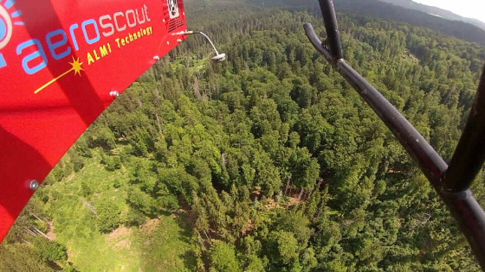
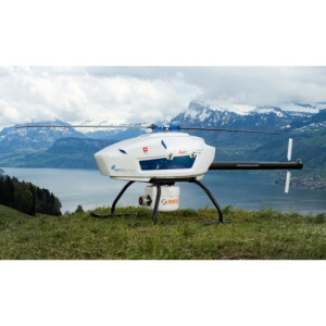
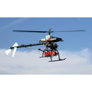
This project takes it one step further by generating extremely high density point clouds and digital photos using the Scout B1-100 helicopter drone developed by the Swiss company Aeroscout GmbH. The aircraft is equipped with a RIEGL VUX-1 laser scanner and a high-precision GPS/IMU unit. Aeroscout worked with researchers from Brown University and the Czech Republic to collect high-density airborne LIDAR for a 1.2 square kilometer forested landscape in the southwest Czech Republic. The project was funded by Brown University. https://www.aeroscout.ch/images/downloads/Kellner2019_Article_NewOpportunitiesForForestRemoteSensing.pdf
The high-density point cloud will contribute to the calibration and validation activities of the Global Ecosystem Dynamics Investigation, a NASA mission that will place a waveform lidar sensor on the International Space Station. “GEDI will produce the first high resolution laser ranging measurements of the 3D structure of the earth. Developing the statistical models that allow GEDI to predict aboveground forest biomass requires high-quality airborne lidar and coincident field measurements.
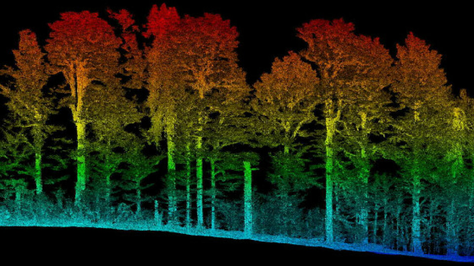
The high-density point cloud offers the opportunity to identify single trees and their branches, which may allow researchers to compute wood volume using methods that are usually applied to data from terrestrial laser scanners.
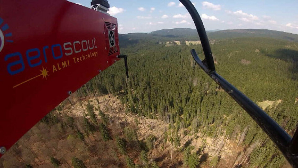
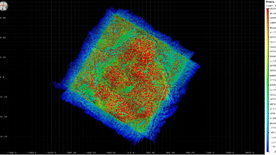
Manned systems usually acquire point densities less than 100 points per square meter. Because unmanned systems can operate at lower altitude and speeds, they can produce much higher point densities. In this project, a point density close to 5,000 points per square meter from flight lines at 90 degree angles is needed to ensure that individual trees and branches can be resolved. The only way to achieve that is using a heavy-lift helicopter drone.
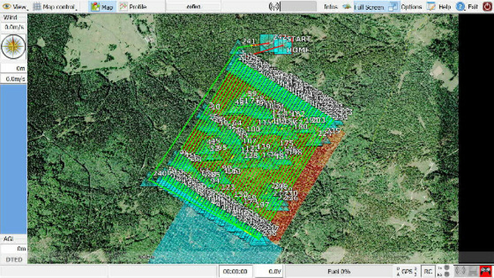
With a flight endurance of 90 minutes and a payload capacity of 18 kg, the Aeroscout B1-100 was able to meet these objectives. The first batch of data were collected in an overall flight time of 7 hours and 72 flight lines in leaf-off conditions in April 2018. A Second Batch of the same 72 fligth lines in leaf-on was conected in June 2018. A total of about 14 hours and lidar data of several hundred gigabytes is currently processed to generate the references for the calibration of the NASA space lidar sensor.


