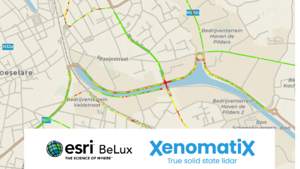
ArcGIS now hosts Road LiDAR data
ArcGIS, the world’s most powerful mapping spatial analytics software from Esri, now hosts the road digital data from XenomatiX. Esri BeLux and XenomatiX have signed a mutual partnership to proactively exchange and support applications and use cases serving both customer bases. ArcGIS combined with the digital data from XenomatiX’ Road LiDAR offers an overview of the road condition, highlights the area that needs attention, and easily understands the cause and the remedy to be planned, all with high accuracy in data and geospatial context.
When combining ArcGIS, the world’s most powerful mapping spatial analytics software from Esri, and the digital data from XenomatiX’ Road LiDAR, users are offered an overview on the road condition in a glance, find the spot that needs attention and easily understand the cause and the remedy to be planned, all with high accuracy in data and geospatial context. Today, Esri BeLux and XenomatiX announce that their cooperation will carry out in-depth collaborations in the fields of road asset management.
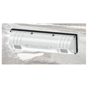
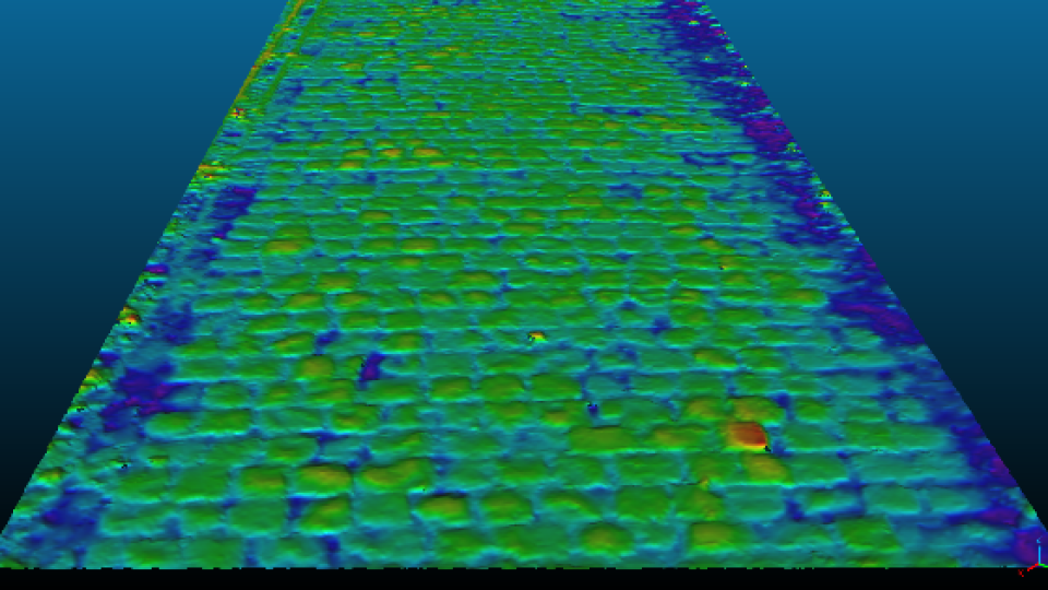
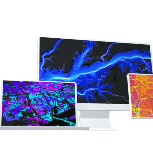
XenomatiX focuses on ‘6D road scanning’ products and services using its Road LiDAR, XenoTrack, designed to deliver millimeter precision digital twins of the road, including quality measures like longitudinal and lateral evenness.
In March 2022, XenomatiX announced a new version of XenoTrack based on the latest Lidar technology for autonomous vehicles and advanced driver-assistance systems (ADAS). The new XenoTrack comes with enhanced functionality and a fully integrated total solution with HD camera and RTK GNSS. Road characteristics such as the international roughness index and rutting index are quantified while driving and provide road management and construction companies with a fast assessment of pavement quality.
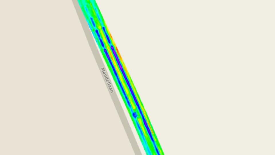
XenomatiX and Esri BeLux signed a partnership to pro-actively exchange and support on applications and use cases serving both customer bases. XenomatiX uses and promotes ArcGIS for visualisation of the digital road and its quality indices, pinpoint the added value with information layers of above and underground assets. Uploaded on the ArcGIS platform as an extra layer, users can easily determine the status of their road network above ground, evaluate the status of utility conducts below ground and make sound decisions, efficiently using the budget ‘first time right’.
Do you have questions about this article?
Get in touch with XenomatiX, and they would be happy to answer any questions you have about pricing, suitability, availability, specs, etc.


