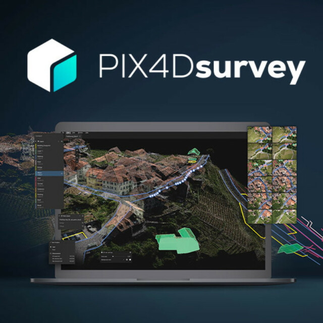
PIX4Dsurvey
Bridge the gap between photogrammetry and CAD
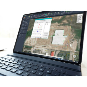
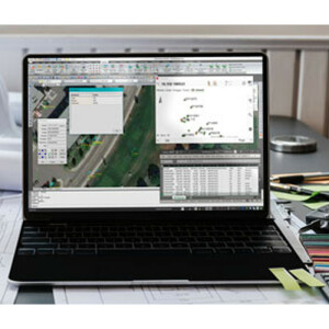
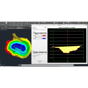
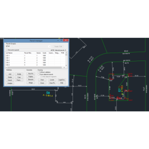
PIX4Dsurvey cuts out the steps between photogrammetry and CAD, allowing you to extract only the most critical vector data information from point clouds of any size. Offering TIN and breakline analysis, PIX4Dsurvey is ready to integrate your projects into any CAD or GIS software with the customizations that suit your work. Merge multiple point clouds in one project, using both Lidar and photogrammetry data.
PIX4D
Prilly, CH
Description
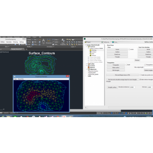
PIX4Dsurvey bridges the gap between photogrammetry and CAD, expanding today's surveying possibilities. It seamlessly merges photogrammetry point clouds and images, Lidar, and third-party point clouds into a single project. It offers optimized vectorization and the extraction of essential information such as the bottom and top of curbs and grid of points with just a few clicks.
Key outputs: CAD files
Industries:
- Surveying
- Mapping
- Construction
- Inspection
Specifications
-
Data management
-
Save standardization for drawings/maps
Drawing layers
Spatial reference system
From data source
Security options for access
Y
-
Geometry types
-
Points
Point
Lines
Line segment, Polyline
Surfaces
Polygon
-
Other
-
License or freeware
License
Training
Y
Main users
Surveyors, Quantity Surveyors, Topographers
Main applications
Topography
Distinguishable features
Easy handling of large datasets, either from photogrammetry or LiDAR. Vectorization using original images. Deliverables suitable for GIS or CAD software.
Related products
Pix4Dmapper, Pix4Dmatic
-
2D Editing
-
Select
Spatial selection, Multiple select
Remove
By select, By layer
Graphic transformations
Drag and drop
Coordinate transformations
Coordinate systems are automatically detected when importing the data
-
2D Construction
-
Positioning in relation to other element
Positioning by coördinates
Y
Positioning by snapping
Y
-
Storage
-
Type of data storage
File
Input formats
Dxf, Jpg, Others
Export formats
Dxf, Shape, Others
Native storage format
*.p4s, *.bpc
-
Visualisation
-
Types
Color
Change view
Zoomfactor, Target point
-
Data analysis
-
Merge
Measurement
Area, Length, Others
Topology
Tools to detect errors
Automatic detection of outliers
-
Interoperability
-
Web standards
Spatial database management systems
Messaging protocols
Extensions
-
General
-
Year of introduction
2020
Year of last update
2021
Supported operation system
Windows, Mac OS X


